


Shop
Contour Maps
Every design here is a starting point. Pick one you like, then change the place, date, names, colors and frame in our editor. We print the version you make.
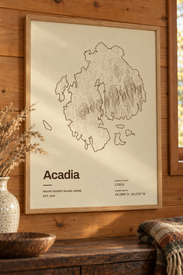
Acadia National Park Map Print, Topographic Contour Map
From $29

Algonquin Peak Map Print, NY Mountain Contour Map
From $29
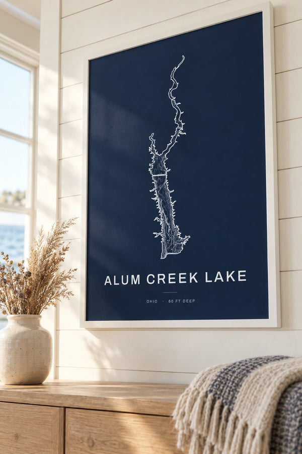
Alum Creek Lake Map Print, OH Lake Depth Map
From $29
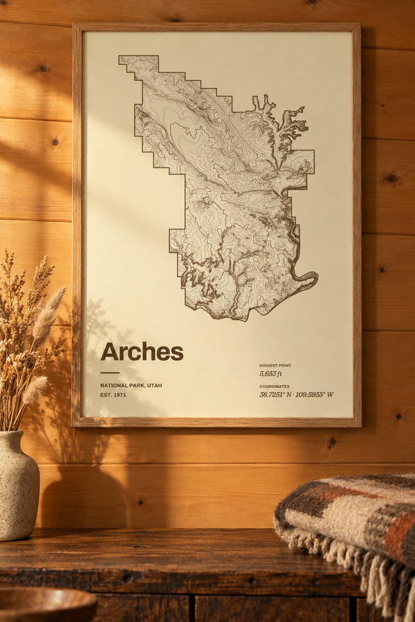
Arches National Park Map Print, Topographic Contour Map
From $29
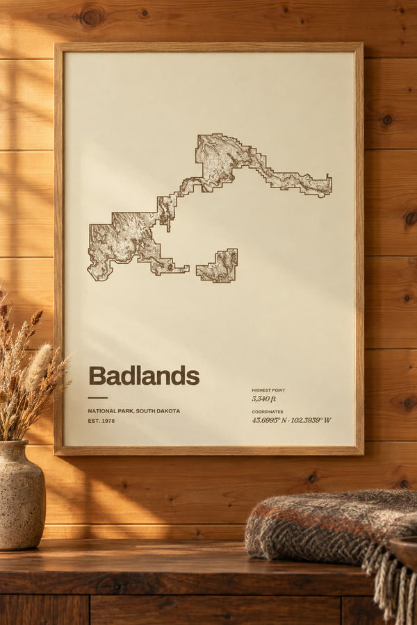
Badlands National Park Map Print, Topographic Contour Map
From $29
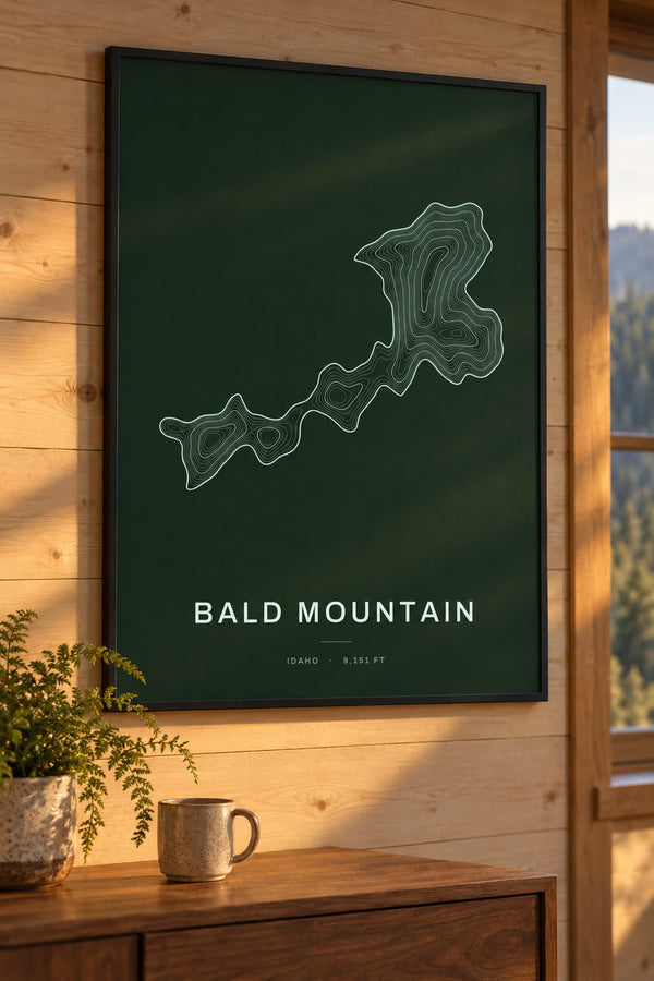
Bald Mountain Map Print, ID Mountain Contour Map
From $29
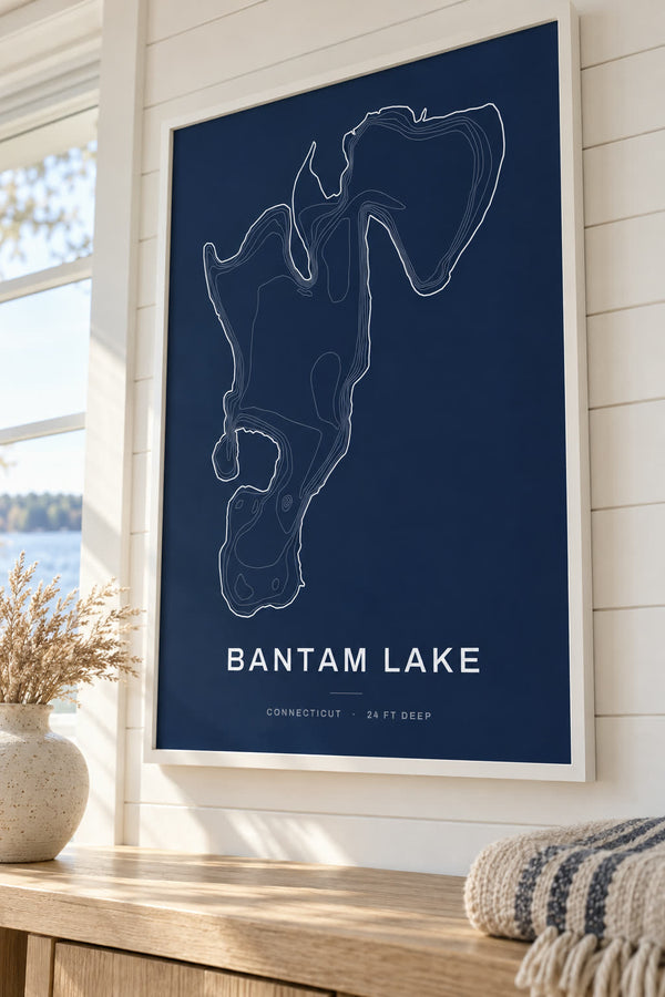
Bantam Lake Map Print, CT Lake Depth Map
From $29
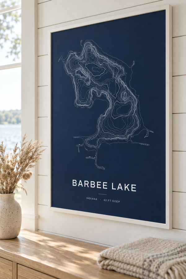
Barbee Lake Map Print, IN Lake Depth Map
From $29
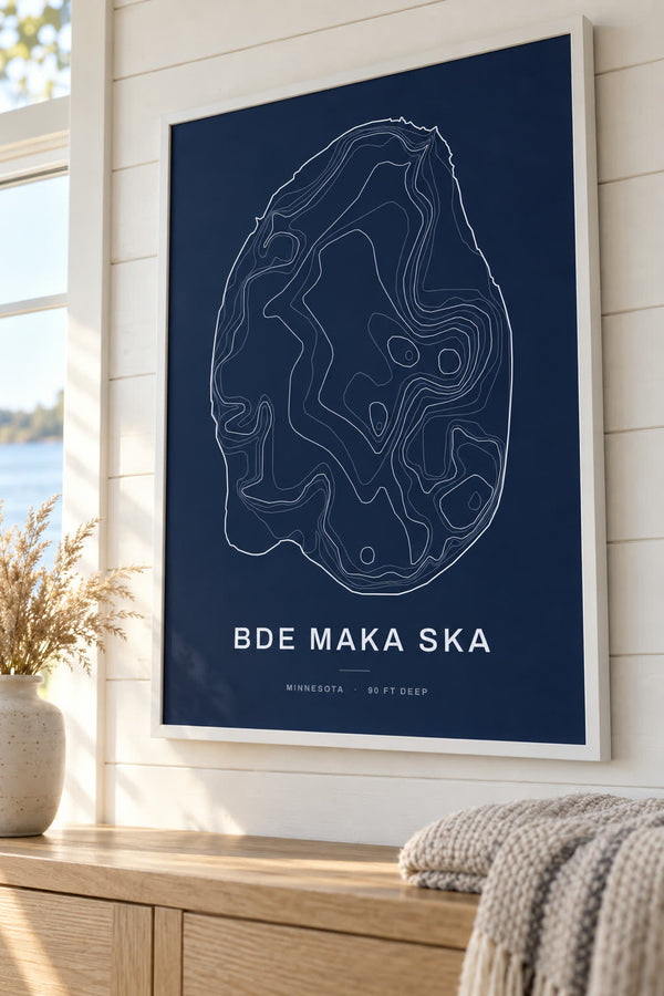
Bde Maka Ska Map Print, MN Lake Depth Map
From $29
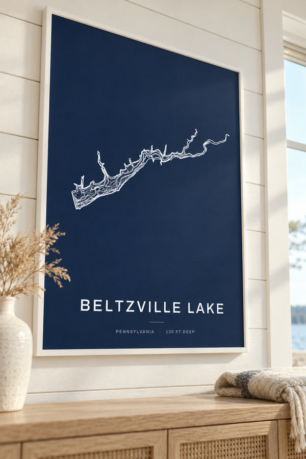
Beltzville Lake Map Print, PA Lake Depth Map
From $29
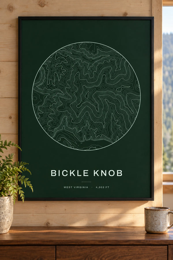
Bickle Knob Map Print, WV Mountain Contour Map
From $29
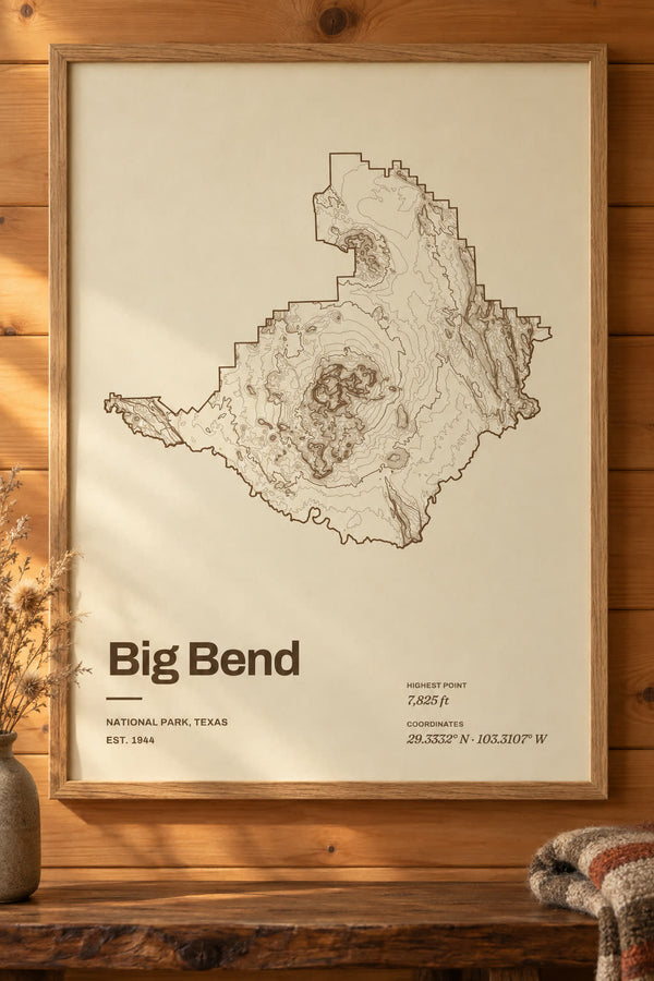
Big Bend National Park Map Print, Topographic Contour Map
From $29
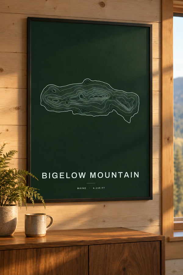
Bigelow Mountain Map Print, ME Mountain Contour Map
From $29
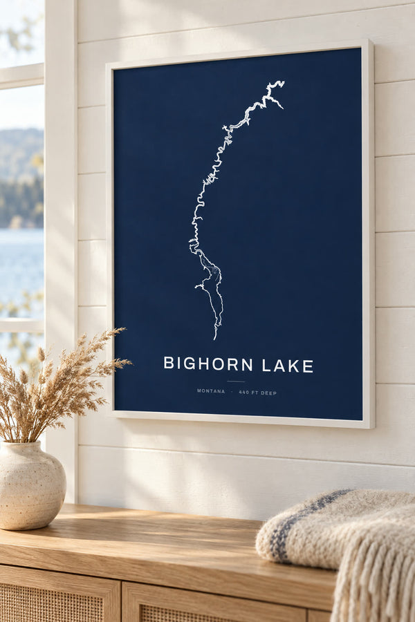
Bighorn Lake Map Print, MT Lake Depth Map
From $29
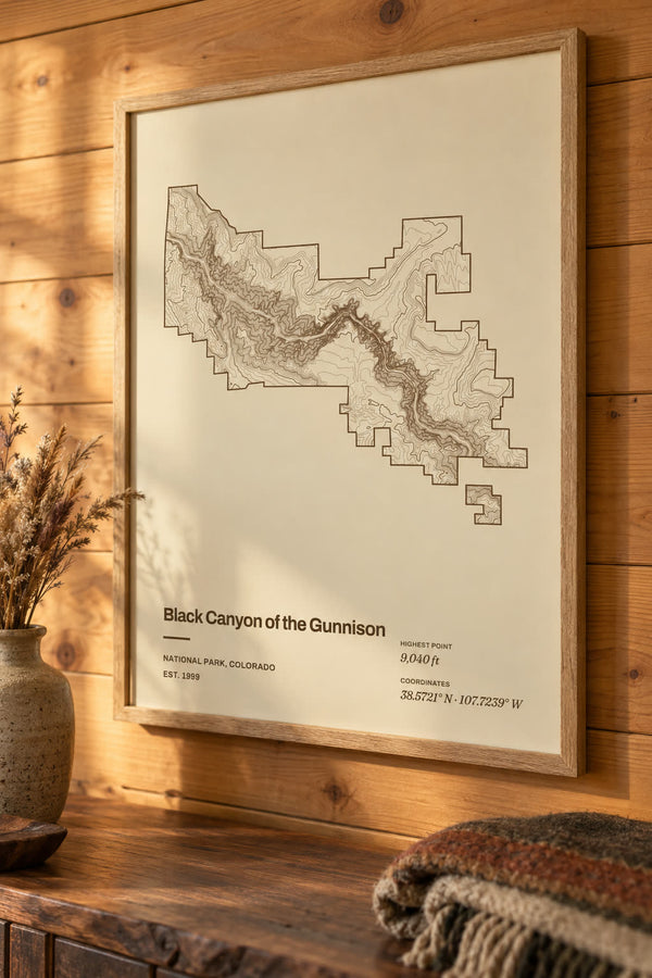
Black Canyon of the Gunnison National Park Map Print, Topographic Contour Map
From $29
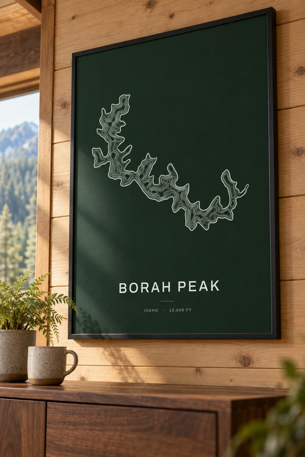
Borah Peak Map Print, ID Mountain Contour Map
From $29
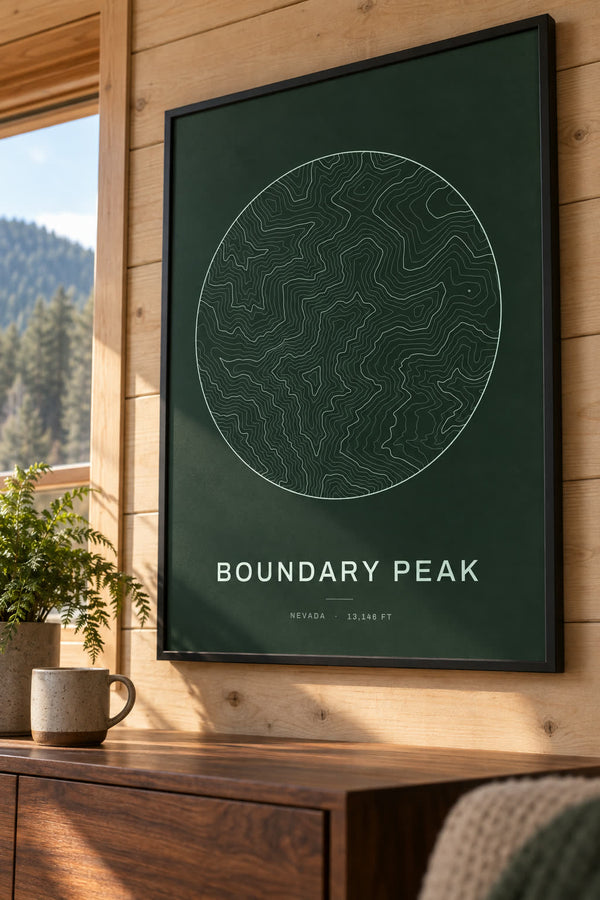
Boundary Peak Map Print, NV Mountain Contour Map
From $29
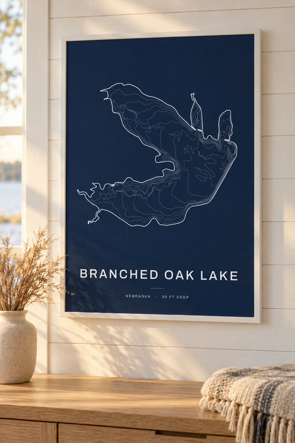
Branched Oak Lake Map Print, NE Lake Depth Map
From $29

Brasstown Bald Map Print, GA Mountain Contour Map
From $29
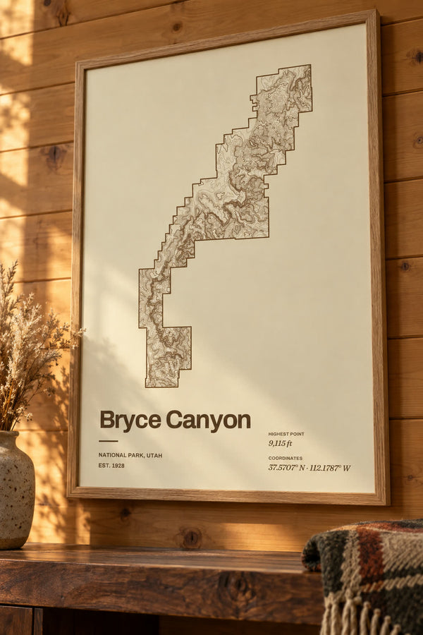
Bryce Canyon National Park Map Print, Topographic Contour Map
From $29
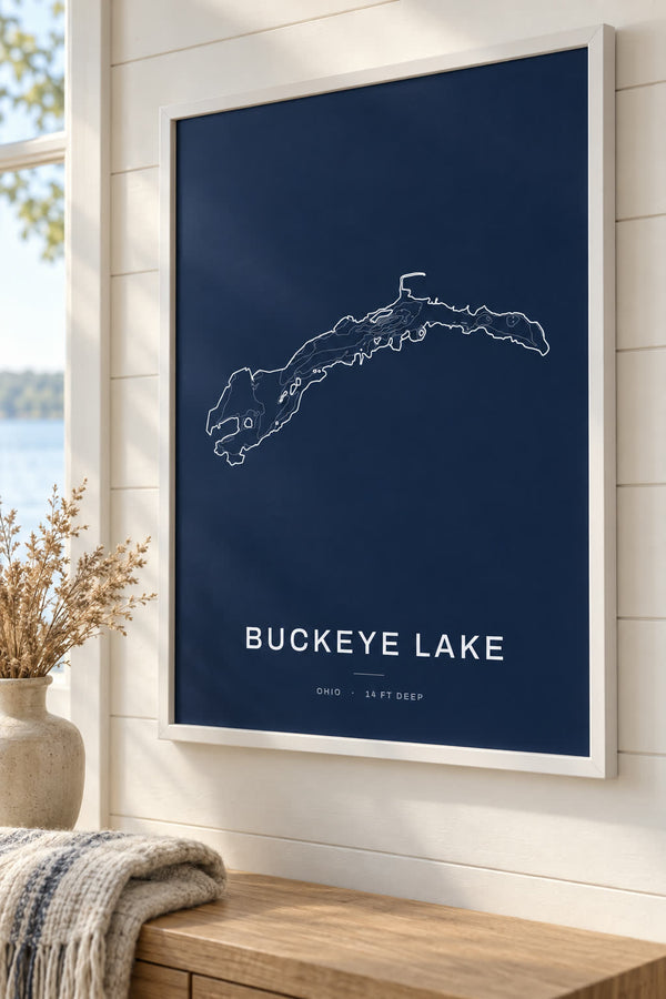
Buckeye Lake Map Print, OH Lake Depth Map
From $29
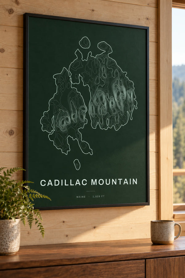
Cadillac Mountain Map Print, ME Mountain Contour Map
From $29
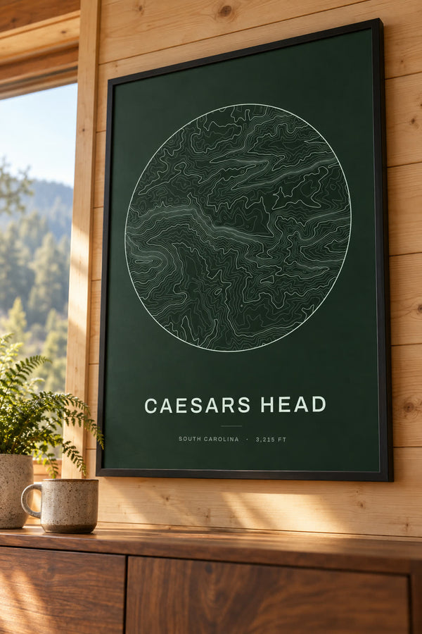
Caesars Head Map Print, SC Mountain Contour Map
From $29
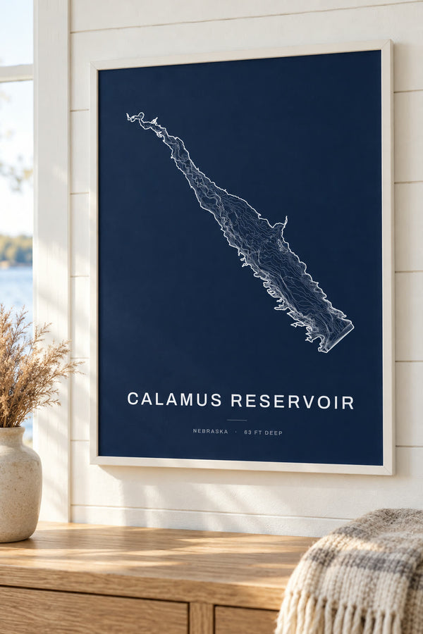
Calamus Reservoir Map Print, NE Lake Depth Map
From $29
About contour maps
Topographic contour map prints of lakes, mountains and national parks. Every line traces one height across the land or one depth below the water, and every design opens in our editor to change the colorway, title and frame.
Buying for someone who hikes? See all our gifts for hikers, from GPX trail maps to summit and national park prints.
Start from scratch
What would you like to make?
Pick a type and it opens blank in our editor. Everything is yours to set.