



National Park Map Prints
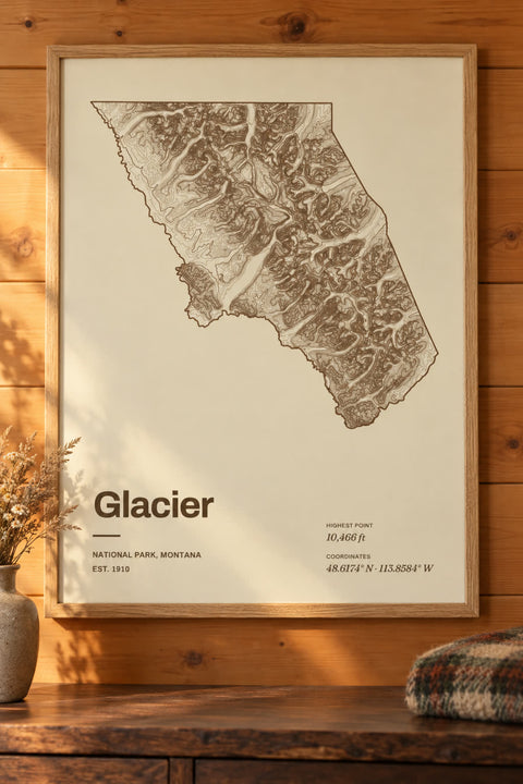
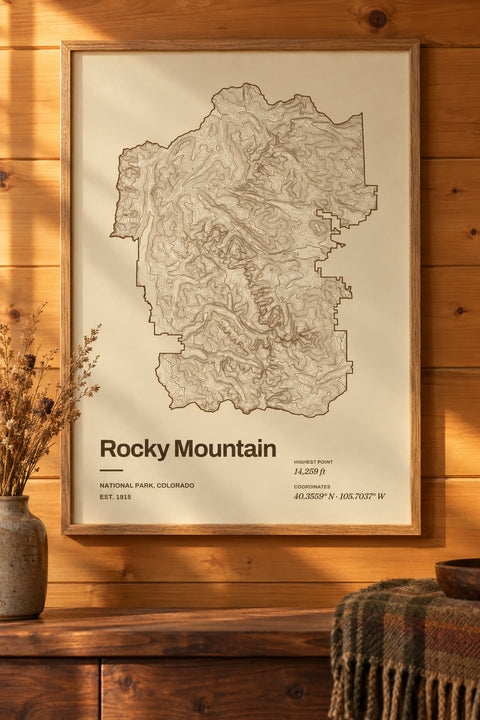
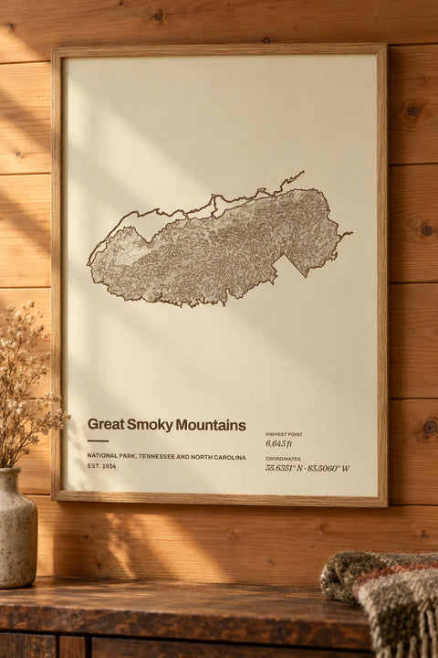
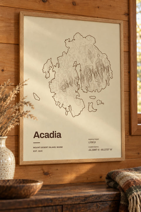
Contour maps of America's national parks, traced from elevation data inside each park's boundary. The canyons, peaks and valleys you hiked, drawn one line at a time. Find your park, then make it yours.
Trending national parks
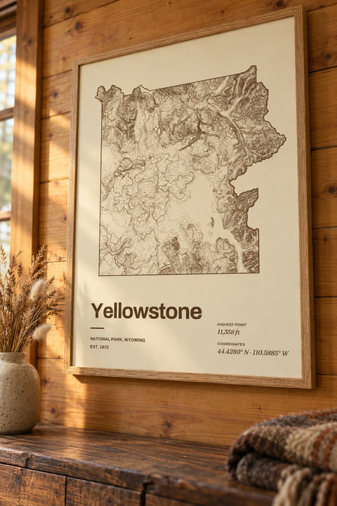
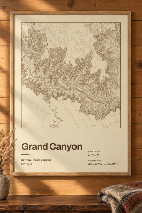
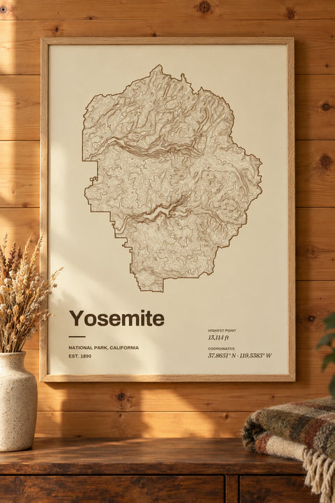
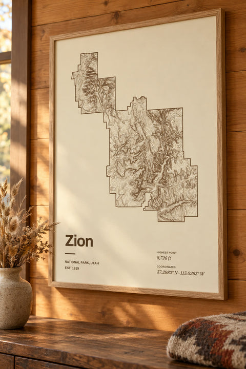
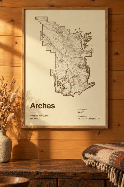
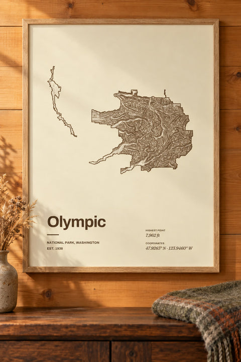
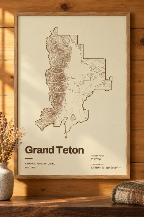
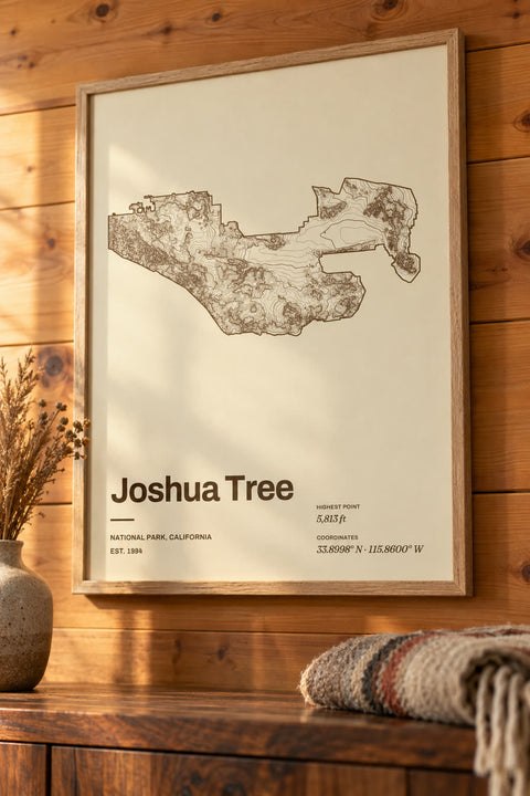
All national park maps
54 national parks
-
 Acadia
Maine
-
 Arches
Utah
-
 Badlands
South Dakota
-
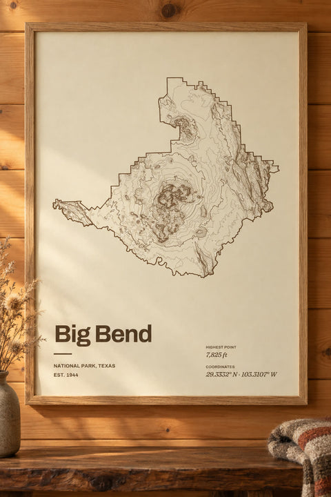 Big Bend
Texas
-
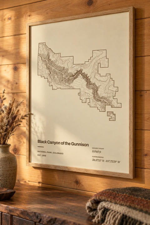 Black Canyon of the Gunnison
Colorado
-
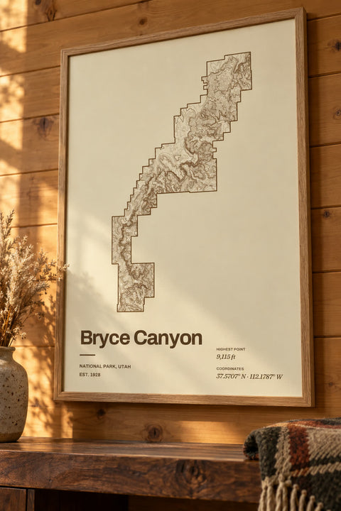 Bryce Canyon
Utah
-
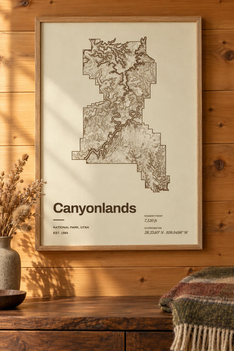 Canyonlands
Utah
-
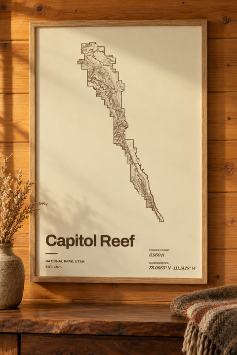 Capitol Reef
Utah
-
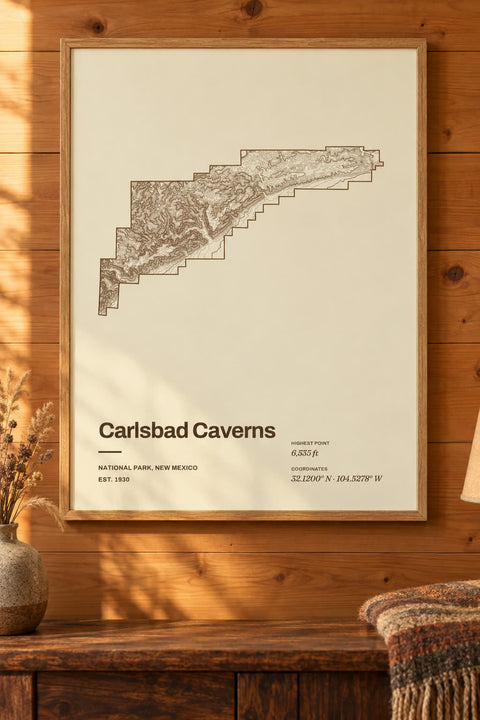 Carlsbad Caverns
New Mexico
-
 Channel Islands
California
-
 Chiricahua
Arizona
-
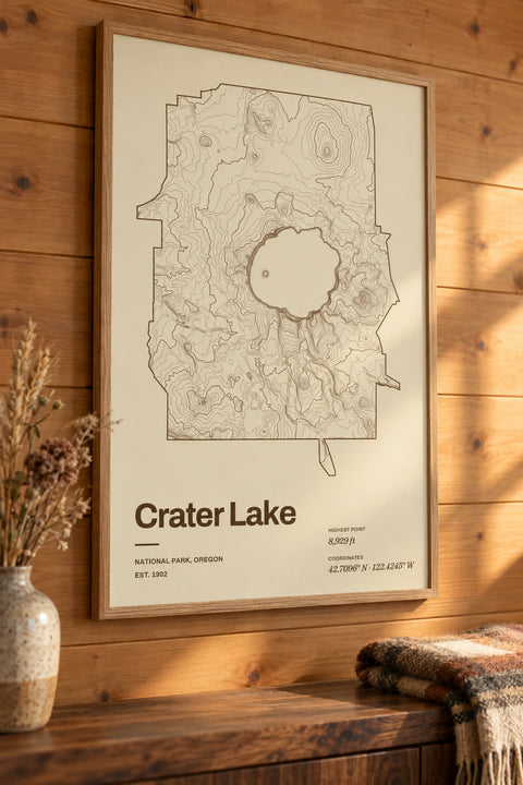 Crater Lake
Oregon
-
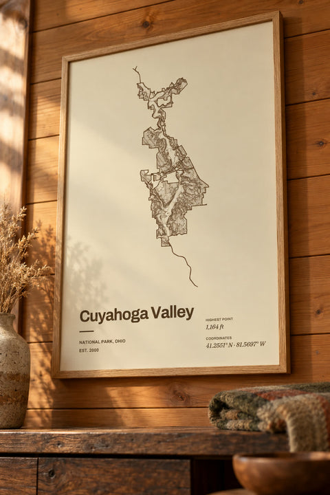 Cuyahoga Valley
Ohio
-
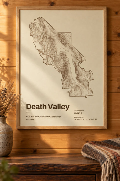 Death Valley
California, Nevada
-
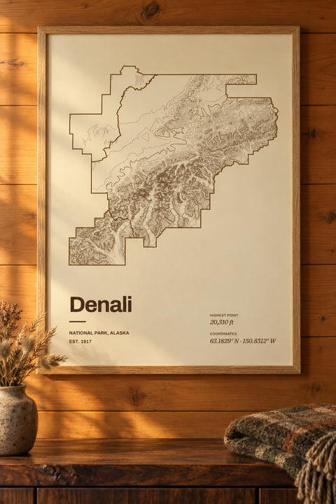 Denali
Alaska
-
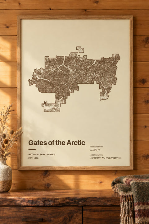 Gates of the Arctic
Alaska
-
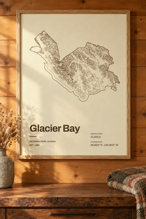 Glacier Bay
Alaska
-
 Glacier
Montana
-
 Grand Canyon
Arizona
-
 Grand Teton
Wyoming
-
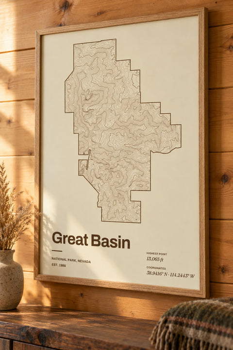 Great Basin
Nevada
-
 Great Sand Dunes
Colorado
-
 Great Smoky Mountains
North Carolina, Tennessee
-
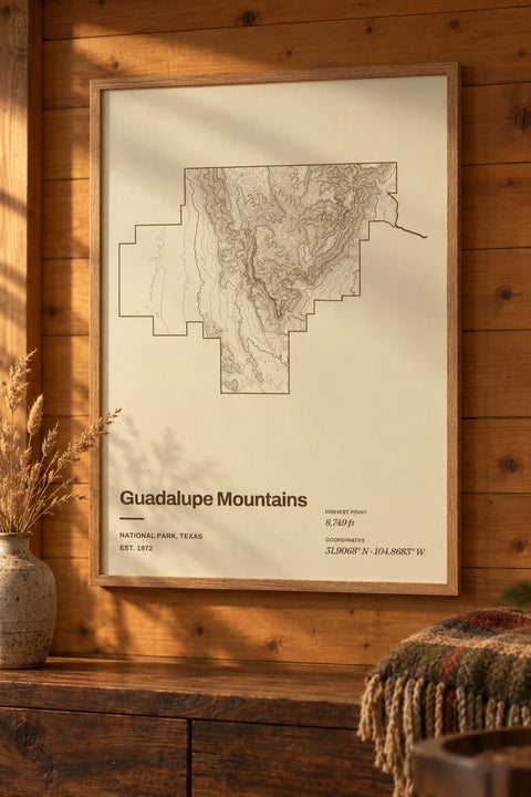 Guadalupe Mountains
Texas
-
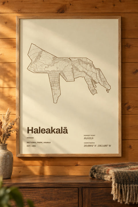 Haleakalā
Hawaii
-
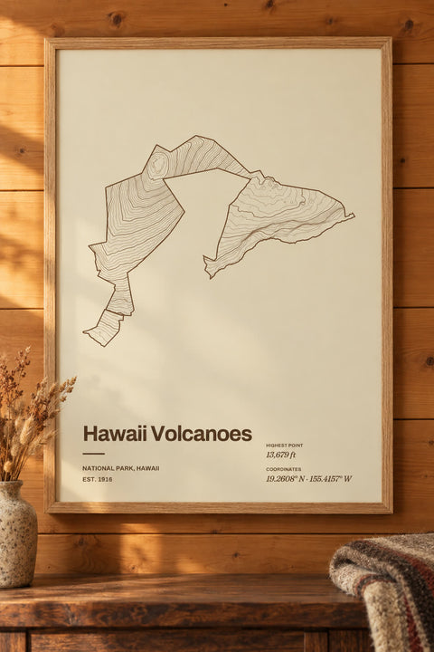 Hawaii Volcanoes
Hawaii
-
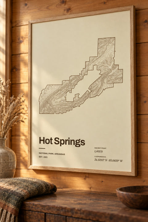 Hot Springs
Arkansas
-
 Isle Royale
Michigan
-
 Joshua Tree
California
-
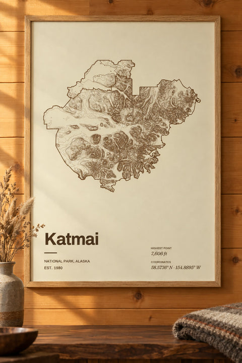 Katmai
Alaska
-
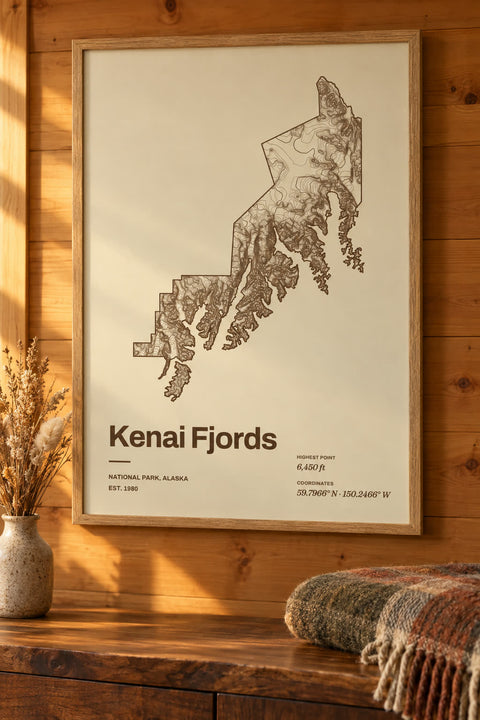 Kenai Fjords
Alaska
-
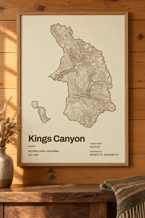 Kings Canyon
California
-
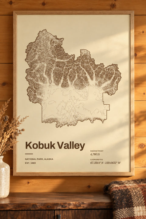 Kobuk Valley
Alaska
-
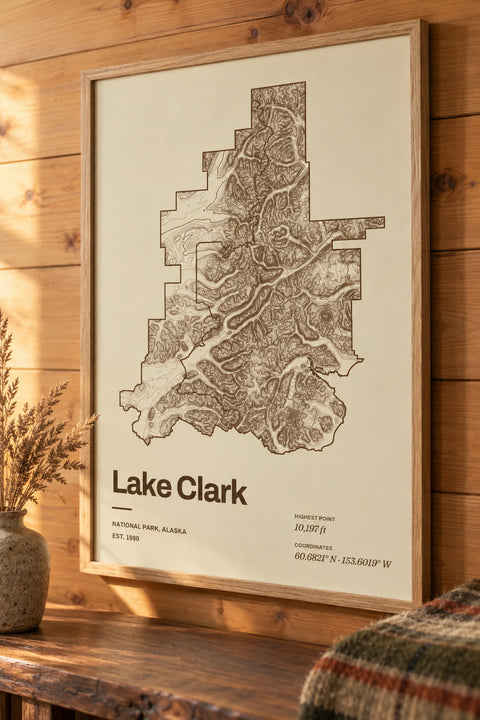 Lake Clark
Alaska
-
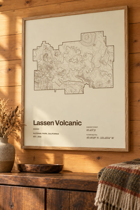 Lassen Volcanic
California
-
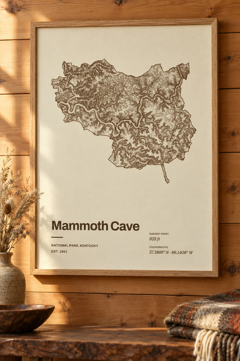 Mammoth Cave
Kentucky
-
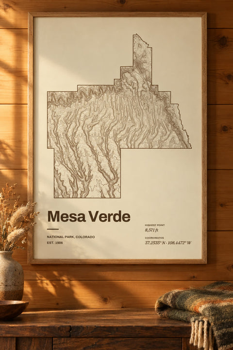 Mesa Verde
Colorado
-
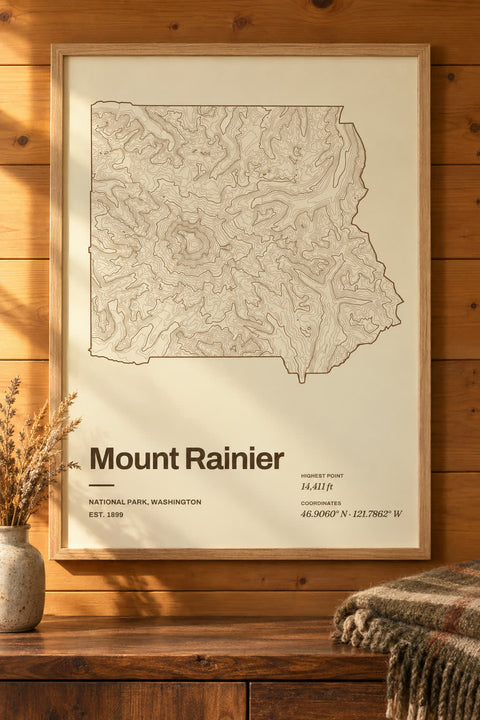 Mount Rainier
Washington
-
 New River Gorge
West Virginia
-
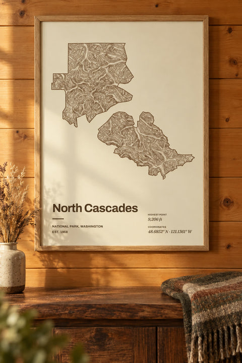 North Cascades
Washington
-
 Olympic
Washington
-
 Petrified Forest
Arizona
-
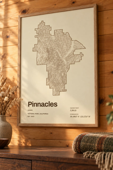 Pinnacles
California
-
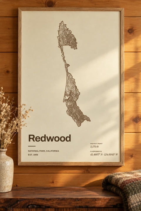 Redwood
California
-
 Rocky Mountain
Colorado
-
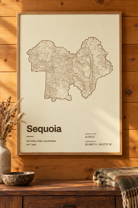 Sequoia
California
-
 Shenandoah
Virginia
-
 Virgin Islands
-
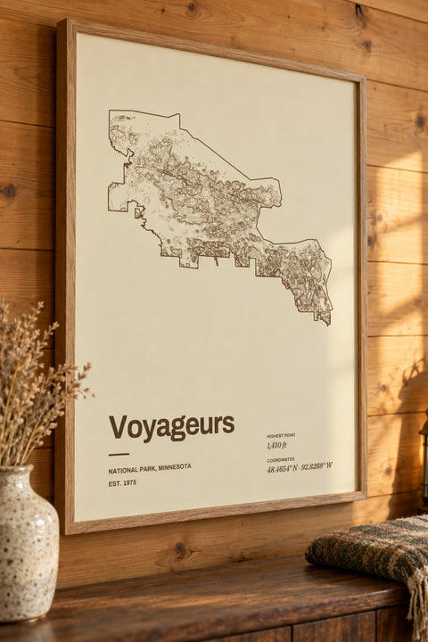 Voyageurs
Minnesota
-
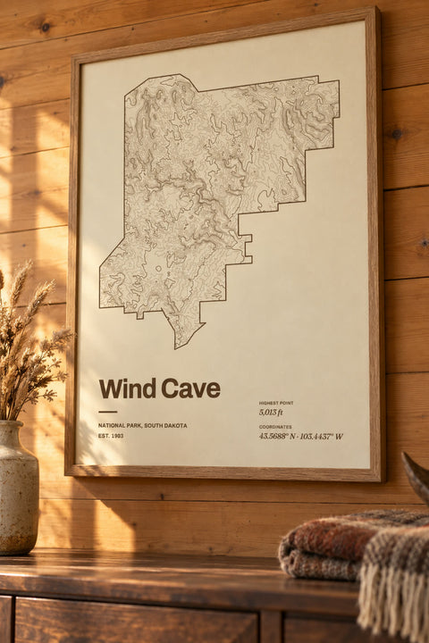 Wind Cave
South Dakota
-
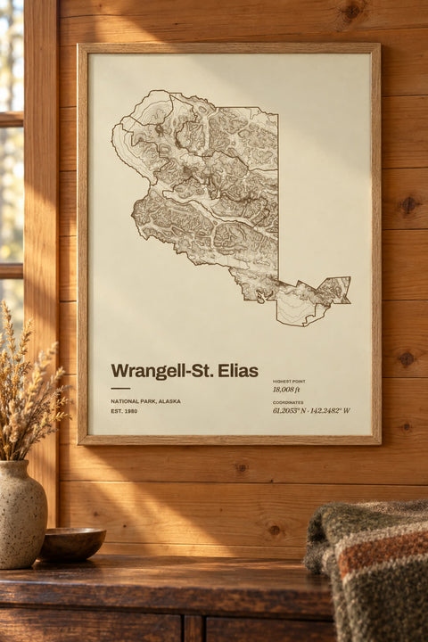 Wrangell-St. Elias
Alaska
-
 Yellowstone
Idaho, Montana, Wyoming
-
 Yosemite
California
-
 Zion
Utah


Nothing matches yet. You can map any lake or mountain yourself in our contour map editor.
National parks by state
- Alaska 8 national parks
- Arizona 3 national parks
- Arkansas 1 national park
- California 9 national parks
- Colorado 4 national parks
- Hawaii 2 national parks
- Idaho 1 national park
- Kentucky 1 national park
- Maine 1 national park
- Michigan 1 national park
- Minnesota 1 national park
- Montana 2 national parks
- Nevada 2 national parks
- New Mexico 1 national park
- North Carolina 1 national park
- Ohio 1 national park
- Oregon 1 national park
- South Dakota 2 national parks
- Tennessee 1 national park
- Texas 2 national parks
- Utah 5 national parks
- Virginia 1 national park
- Washington 3 national parks
- West Virginia 1 national park
- Wyoming 2 national parks
The parks you've explored
A canyon you hiked to the bottom of, a valley you drove into at sunrise, the park your family goes back to every summer. Our national park maps trace each park's terrain from elevation data, inside its own boundary, so the shape of the park itself becomes the art.
Make it yours
Every park map opens in our contour editor ready to change. Pick another colorway, rewrite the title, and add a line of your own, like the year you visited or the trail you hiked.
A gift for the hiker in your life
For someone who collects parks, see all our gifts for hikers, including summit maps and GPX trail maps.
Wallspoke isn't affiliated with or endorsed by the National Park Service.