


Shop
Mountain Maps
Every design here is a starting point. Pick one you like, then change the place, date, names, colors and frame in our editor. We print the version you make.

Algonquin Peak Map Print, NY Mountain Contour Map
From $29
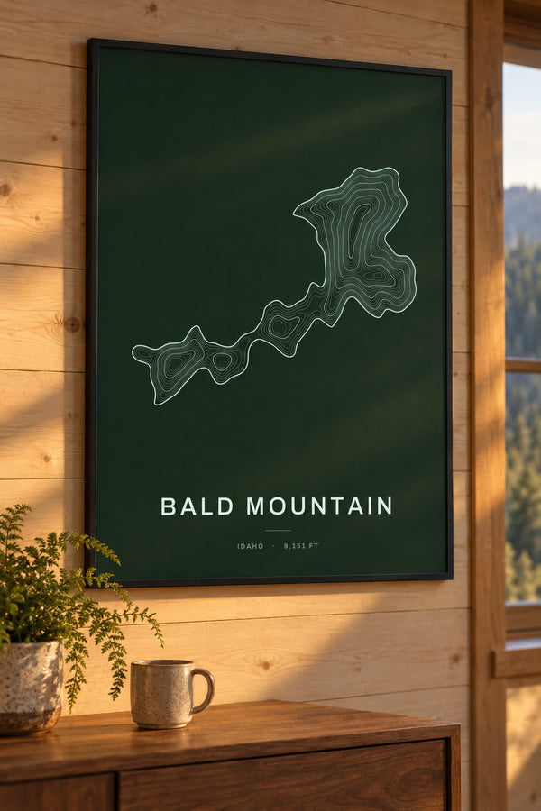
Bald Mountain Map Print, ID Mountain Contour Map
From $29
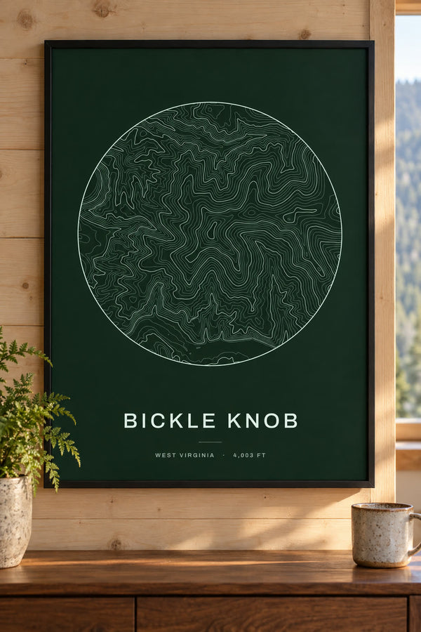
Bickle Knob Map Print, WV Mountain Contour Map
From $29
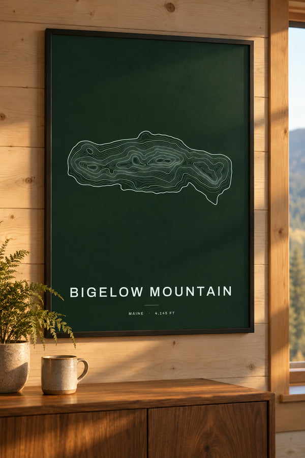
Bigelow Mountain Map Print, ME Mountain Contour Map
From $29
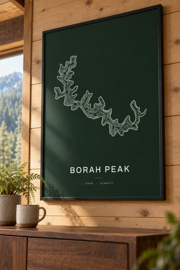
Borah Peak Map Print, ID Mountain Contour Map
From $29
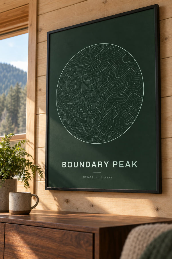
Boundary Peak Map Print, NV Mountain Contour Map
From $29

Brasstown Bald Map Print, GA Mountain Contour Map
From $29
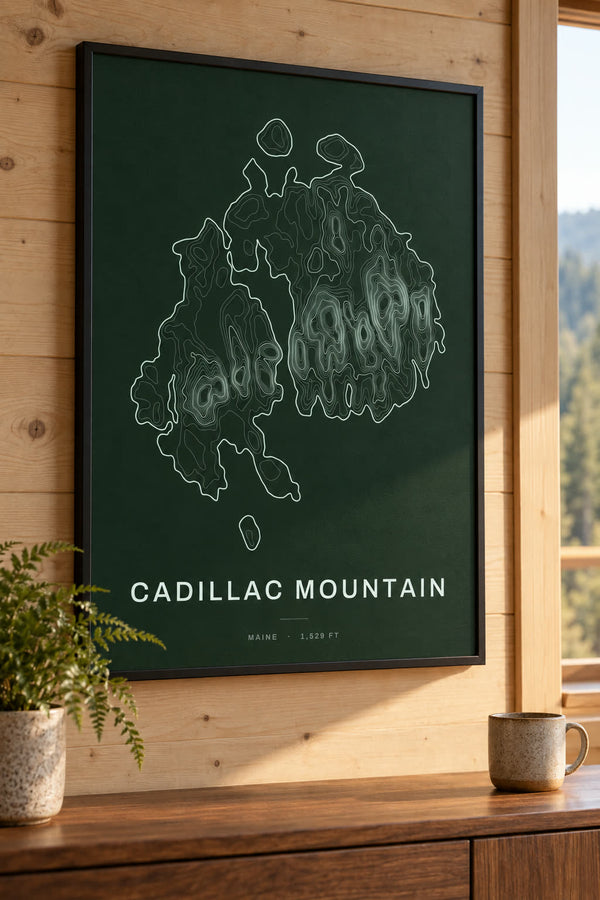
Cadillac Mountain Map Print, ME Mountain Contour Map
From $29
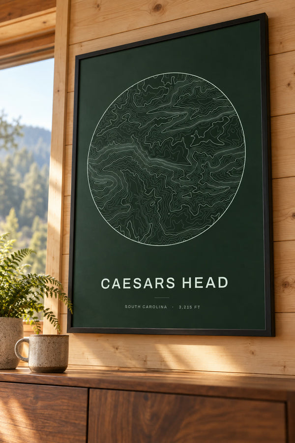
Caesars Head Map Print, SC Mountain Contour Map
From $29
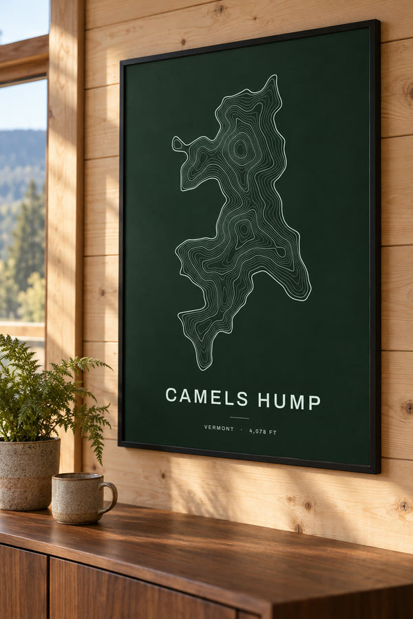
Camels Hump Map Print, VT Mountain Contour Map
From $29
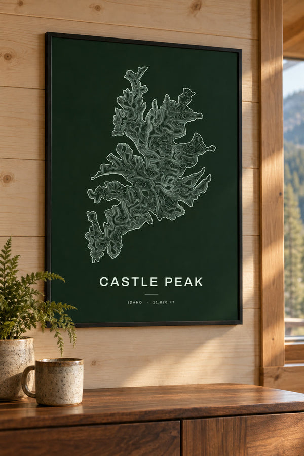
Castle Peak Map Print, ID Mountain Contour Map
From $29
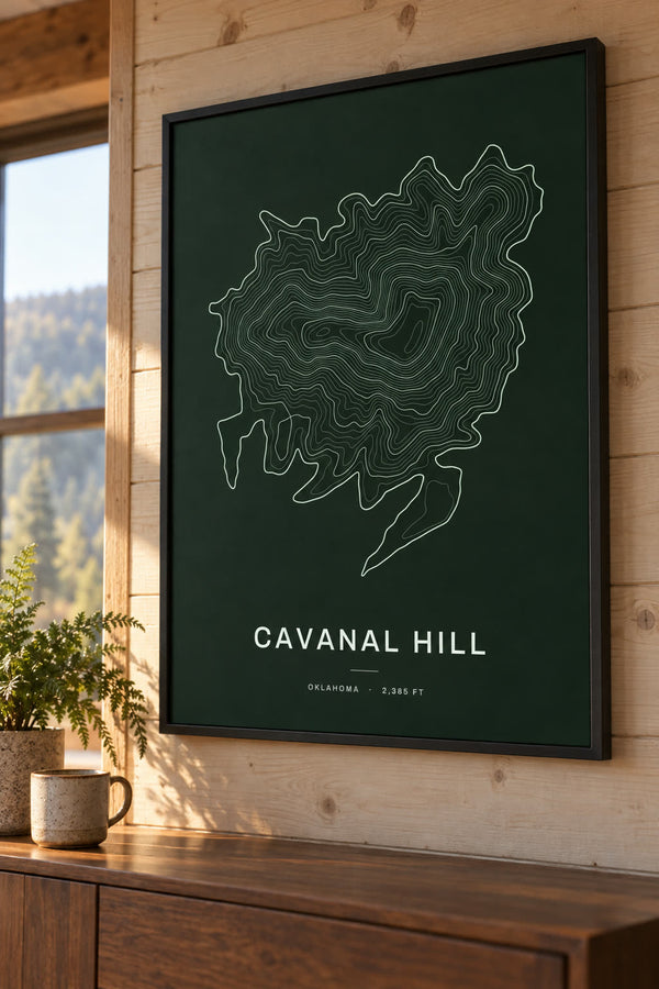
Cavanal Hill Map Print, OK Mountain Contour Map
From $29
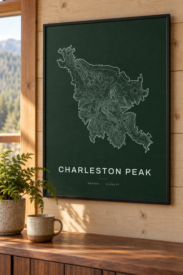
Charleston Peak Map Print, NV Mountain Contour Map
From $29

Cloud Peak Map Print, WY Mountain Contour Map
From $29
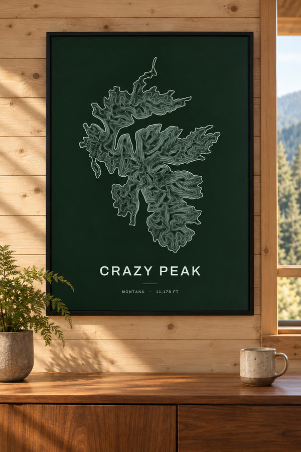
Crazy Peak Map Print, MT Mountain Contour Map
From $29
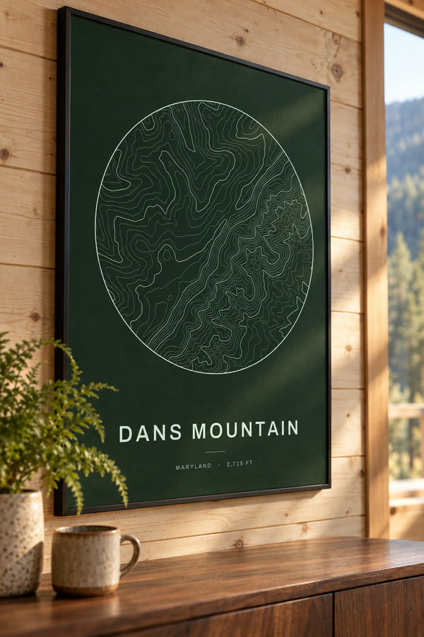
Dans Mountain Map Print, MD Mountain Contour Map
From $29
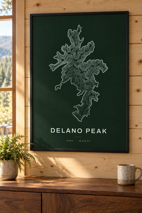
Delano Peak Map Print, UT Mountain Contour Map
From $29
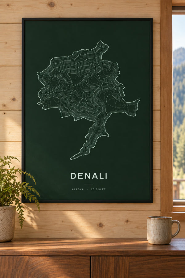
Denali Map Print, AK Mountain Contour Map
From $29
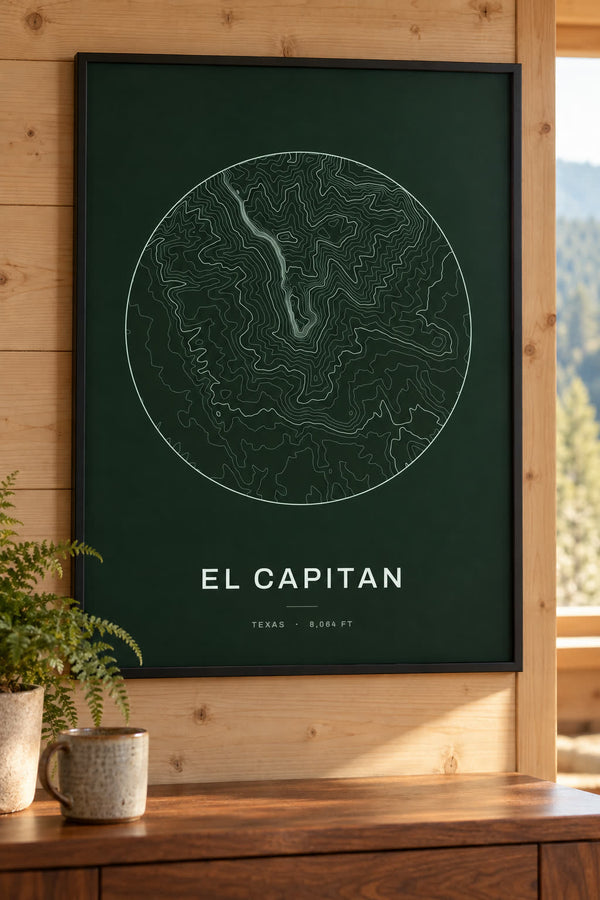
El Capitan Map Print, TX Mountain Contour Map
From $29

Emory Peak Map Print, TX Mountain Contour Map
From $29

Flattop Mountain Map Print, AK Mountain Contour Map
From $29
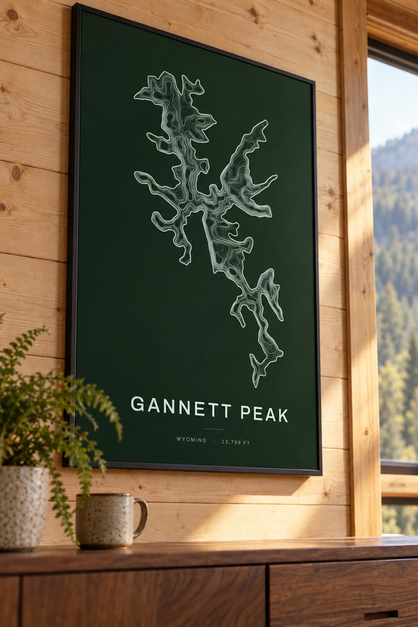
Gannett Peak Map Print, WY Mountain Contour Map
From $29
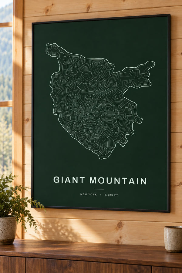
Giant Mountain Map Print, NY Mountain Contour Map
From $29

Glacier Peak Map Print, WA Mountain Contour Map
From $29
About mountain maps
Topographic contour map prints of mountains across the United States, from Mount Katahdin in Maine to Mount Whitney in California. Each print is drawn from elevation data, so the lines close in on the summit, and every design opens in our editor to change the colorway, title and frame.
Buying for someone who hikes? See all our gifts for hikers, from GPX trail maps to summit and national park prints.
Start from scratch
What would you like to make?
Pick a type and it opens blank in our editor. Everything is yours to set.