


Shop
National Park Maps
Every design here is a starting point. Pick one you like, then change the place, date, names, colors and frame in our editor. We print the version you make.
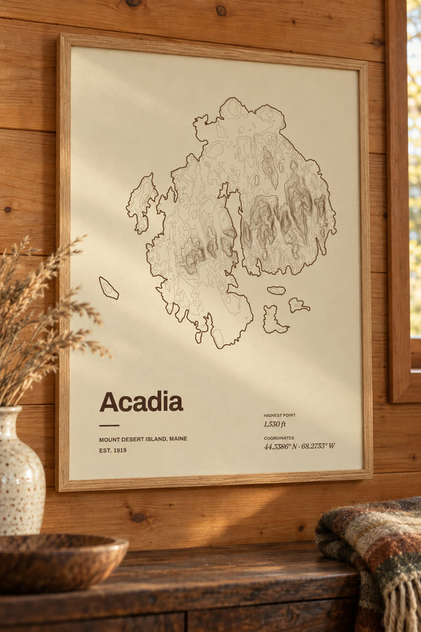
Acadia National Park Map Print, Topographic Contour Map
From $29
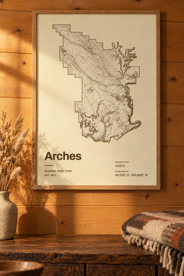
Arches National Park Map Print, Topographic Contour Map
From $29
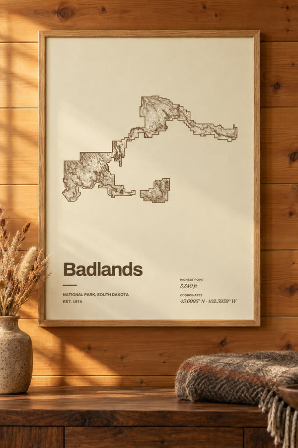
Badlands National Park Map Print, Topographic Contour Map
From $29
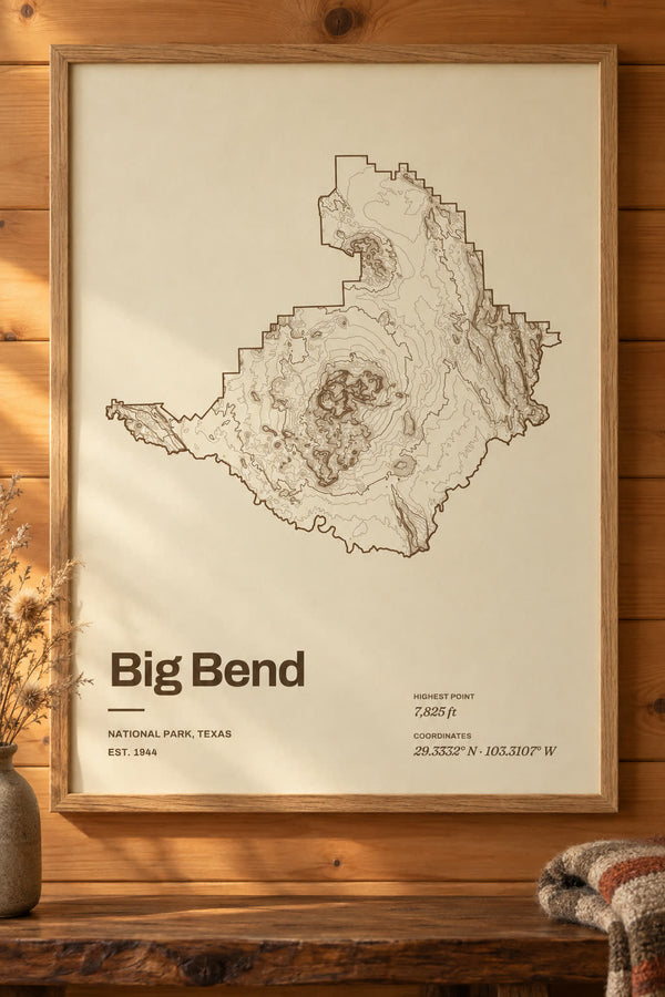
Big Bend National Park Map Print, Topographic Contour Map
From $29
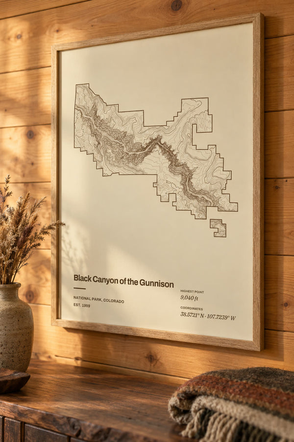
Black Canyon of the Gunnison National Park Map Print, Topographic Contour Map
From $29
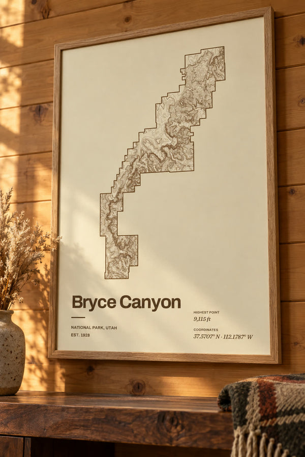
Bryce Canyon National Park Map Print, Topographic Contour Map
From $29
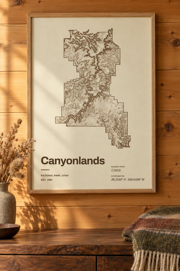
Canyonlands National Park Map Print, Topographic Contour Map
From $29
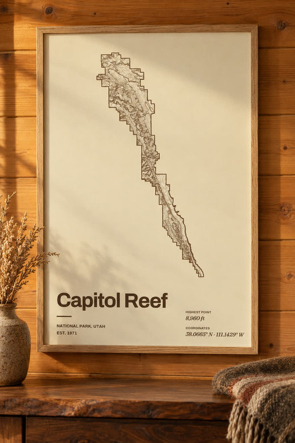
Capitol Reef National Park Map Print, Topographic Contour Map
From $29
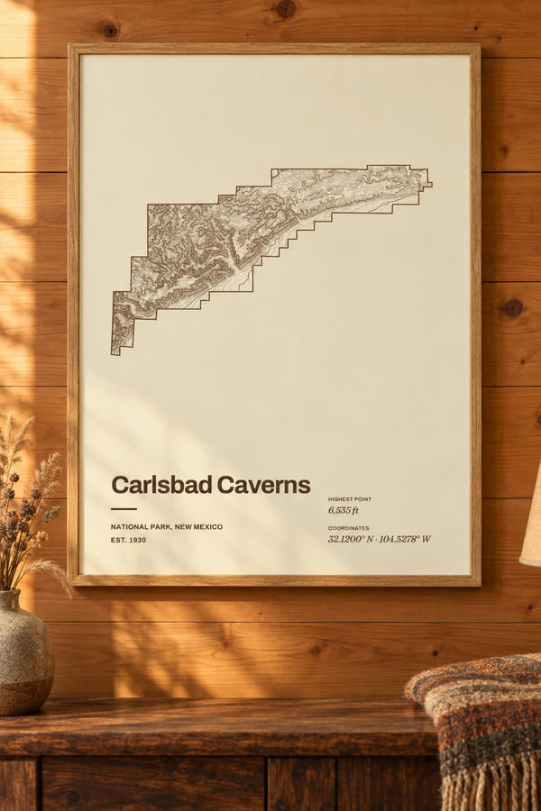
Carlsbad Caverns National Park Map Print, Topographic Contour Map
From $29
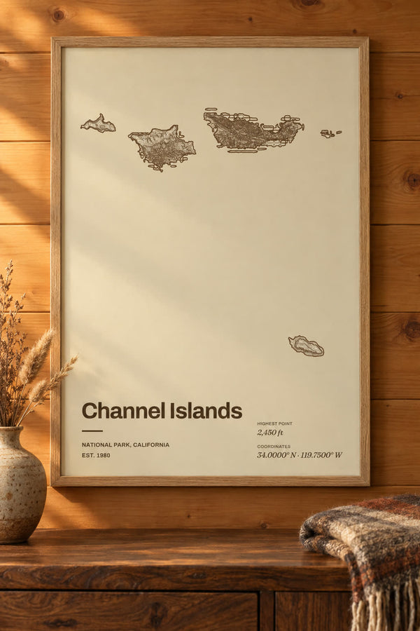
Channel Islands National Park Map Print, Topographic Contour Map
From $29
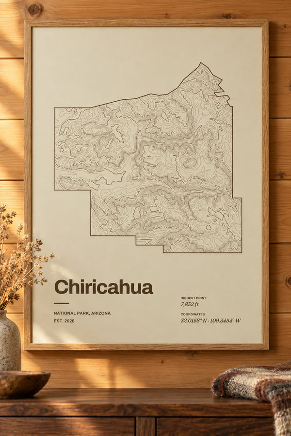
Chiricahua National Park Map Print, Topographic Contour Map
From $29
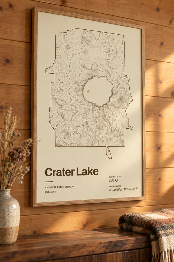
Crater Lake National Park Map Print, Topographic Contour Map
From $29
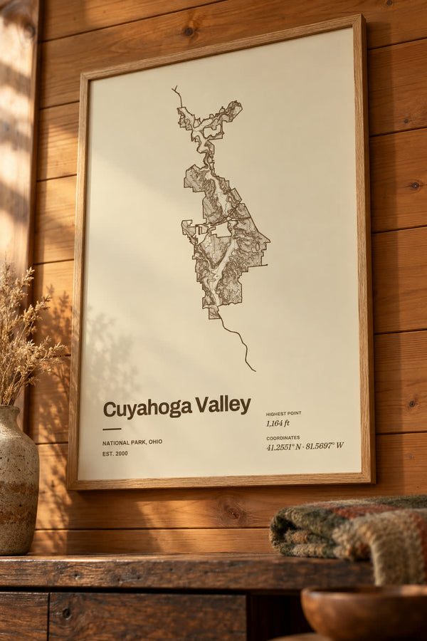
Cuyahoga Valley National Park Map Print, Topographic Contour Map
From $29
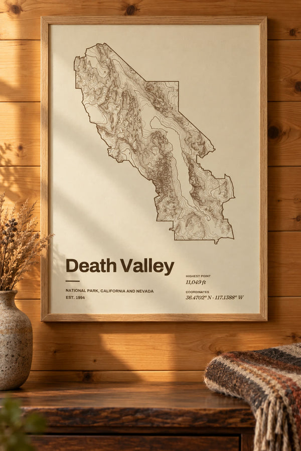
Death Valley National Park Map Print, Topographic Contour Map
From $29
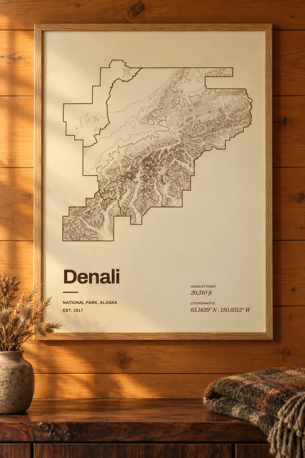
Denali National Park Map Print, Topographic Contour Map
From $29
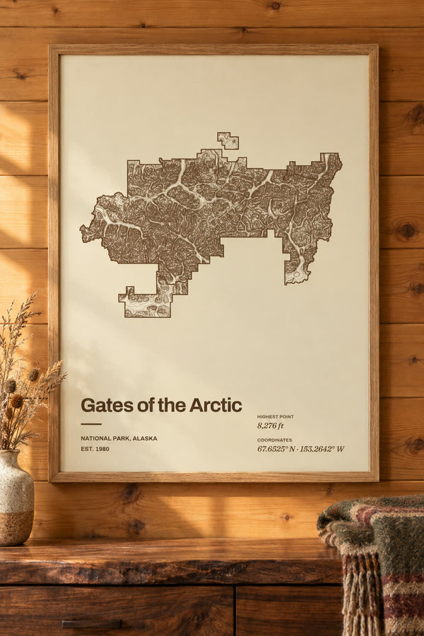
Gates of the Arctic National Park Map Print, Topographic Contour Map
From $29
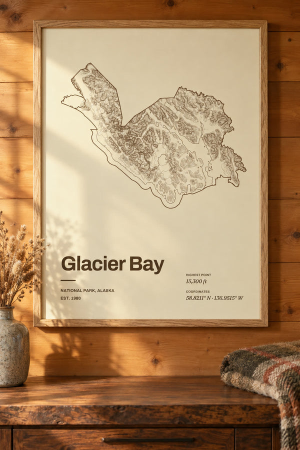
Glacier Bay National Park Map Print, Topographic Contour Map
From $29
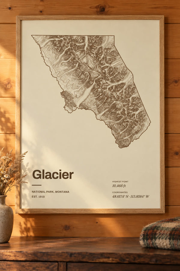
Glacier National Park Map Print, Topographic Contour Map
From $29
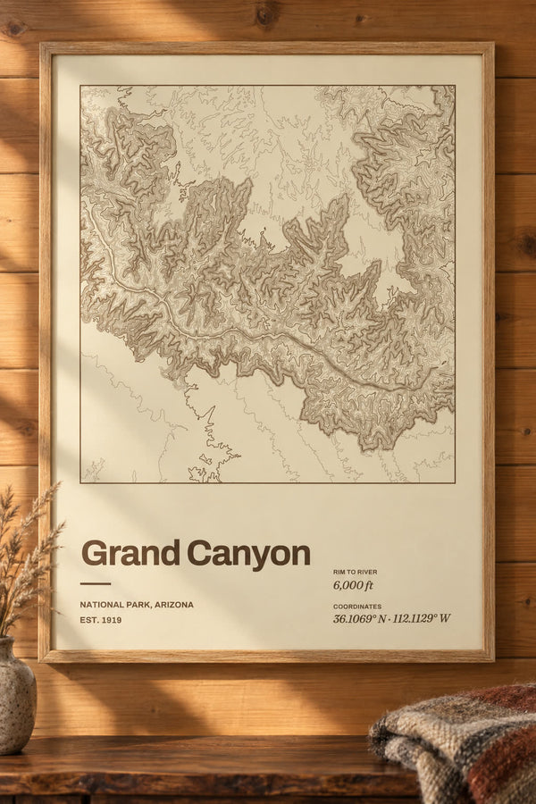
Grand Canyon National Park Map Print, Topographic Contour Map
From $29
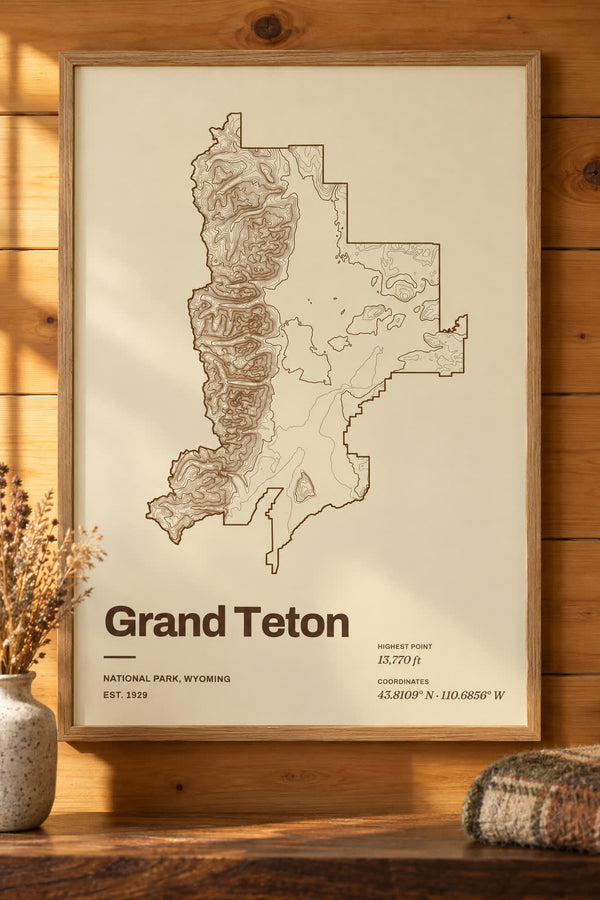
Grand Teton National Park Map Print, Topographic Contour Map
From $29
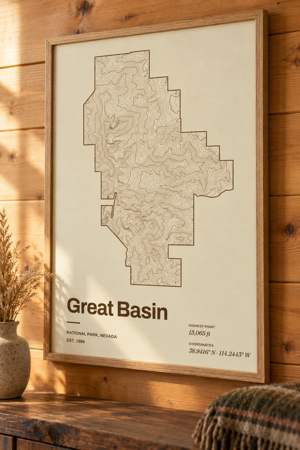
Great Basin National Park Map Print, Topographic Contour Map
From $29
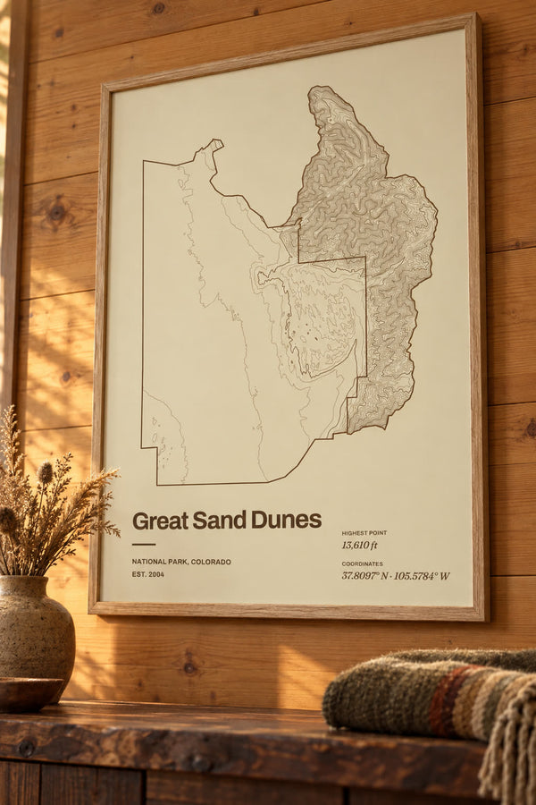
Great Sand Dunes National Park Map Print, Topographic Contour Map
From $29
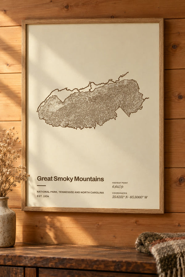
Great Smoky Mountains National Park Map Print, Topographic Contour Map
From $29
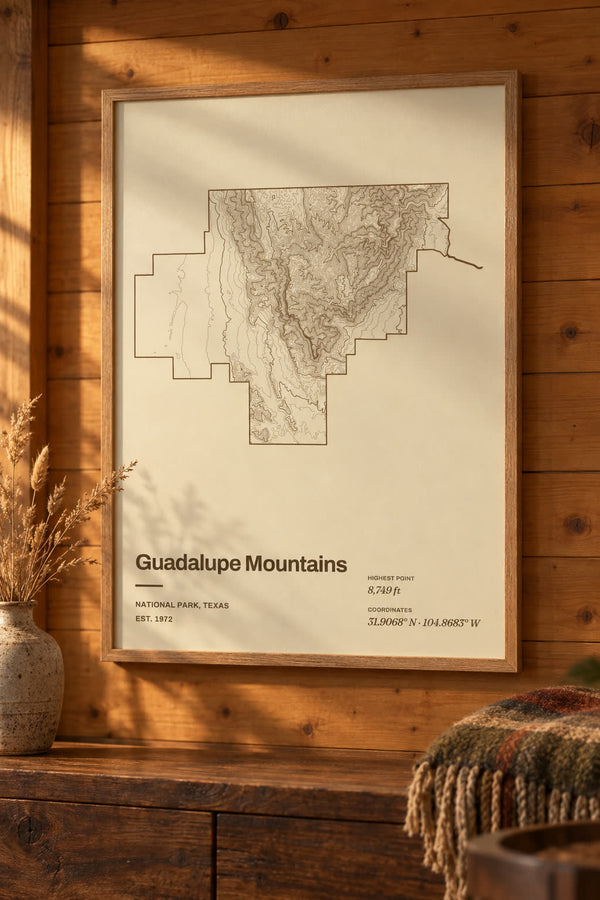
Guadalupe Mountains National Park Map Print, Topographic Contour Map
From $29
About national park maps
Topographic contour map prints of US national parks, from Acadia to Zion. Each park is drawn from elevation data inside its own boundary, and every design opens in our editor to change the colorway, title and frame. Wallspoke is not affiliated with or endorsed by the National Park Service.
Buying for someone who hikes? See all our gifts for hikers, from GPX trail maps to summit and national park prints.
Start from scratch
What would you like to make?
Pick a type and it opens blank in our editor. Everything is yours to set.