


Kentucky Town Map Prints
Map prints of 43 Kentucky towns and cities, each in its own town colors. Find your town, then make it yours in our editor.
Showing all 43 towns
-
 Ashland
From $29
-
 Augusta
From $29
-
 Barbourville
From $29
-
 Bardstown
From $29
-
 Bellevue
From $29
-
 Bowling Green
From $29
-
 Buckhorn
From $29
-
 Burgin
From $29
-
 Campbellsville
From $29
-
 Cloverport
From $29
-
 Corbin
From $29
-
 Danville
From $29
-
 Dawson Springs
From $29
-
 Dayton
From $29
-
 Eminence
From $29
-
 Florence
From $29
-
 Frankfort
From $29
-
 Fulton
From $29
-
 Georgetown
From $29
-
 Glasgow
From $29
-
 Hazard
From $29
-
 Henderson
From $29
-
 Hopkinsville
From $29
-
 Independence
From $29
-
 Jackson
From $29
-
 Jeffersontown
From $29
-
 Louisville
From $29
-
 Ludlow
From $29
-
 Mayfield
From $29
-
 Murray
From $29
-
 Owensboro
From $29
-
 Paintsville
From $29
-
 Paris
From $29
-
 Pikeville
From $29
-
 Pineville
From $29
-
 Prestonsburg
From $29
-
 Raceland
From $29
-
 Radcliff
From $29
-
 Russell
From $29
-
 Russellville
From $29
-
 Somerset
From $29
-
 Williamsburg
From $29
-
 Williamstown
From $29


No towns match .
Don't see your town? You can make a map of any place in our map editor.
Kentucky town maps in their own colors
Ask anyone where they grew up in Kentucky and you will hear about the town, and usually the colors that went with it. Owensboro and Ludlow are red and black. Paintsville and Fulton are blue and white. Raceland and Paris are orange and black. Independence and Radcliff are royal blue and white. We mapped 43 Kentucky towns and cities and printed each one in the colors its people already know by heart.
What every map shows
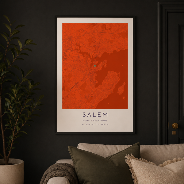
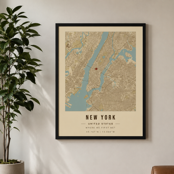
Each print covers the whole town, from its main roads and town center to its back roads, ponds and rivers, with a + marking the center of town. The town name runs along the bottom with Kentucky and the coordinates beneath it, on a clean white border that suits any frame.
Make it yours
Every design here is a starting point. Open any town in our editor to move the marker to your street, your school or the house you grew up in, zoom in on your neighborhood, and change the title and wording. Then choose a size from 8×10 to 24×36 and a black, white or red oak frame.
A hometown gift that means something
A Kentucky town map is an easy gift to get right: for a graduate heading off to college, a couple buying their first house, a teacher or coach retiring, a class reunion, or a friend who moved away and still says "back home." Every print is made to order on museum-grade paper and ships in 3 to 5 business days.
Find your town
Search by town name or county, or search a color like "blue" to see every Kentucky town that wears it. Don't see yours yet? You can make a map of any place in our map editor.
Questions about our Kentucky town maps
Where do the town colors come from?
In most towns they are the colors of the local public high school, or of the regional high school the town shares with its neighbors. They are the colors you already know from team jerseys, banners and car magnets around town.
Can I change the map?
Yes. Every map opens in our editor ready to change. Move the + to your street, your school or the house you grew up in, zoom in on your neighborhood, change the title and wording, or switch to one of our other styles.
What sizes and frames can I choose?
Sizes run from 8×10 to 24×36, unframed or framed in black, white or red oak. Framed prints arrive with an acrylite front protector and hanging hardware, ready to hang.
How long does it take to arrive?
Every print is made to order on museum-grade paper and ships in 3 to 5 business days.
I don't see my town. Can I still get a map?
Yes. We are adding more Kentucky towns all the time, and you can make a map of any place in our editor right now: search for your town and pick its colors yourself.
Do these make good gifts?
They are some of our favorites: for graduates, new homeowners, retirements, class reunions, and anyone who moved away and still calls their town home.