


Island Map Prints
Topographic maps of America's favorite islands, each one drawn from its own coastline. The island where you spent your summers, got married or keep going back to, shore to summit, one line at a time. Find your island, then make it yours.
Trending islands

All island maps
29 islands
-
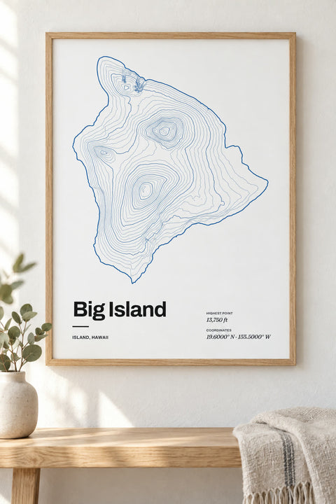
 Big Island
Hawaii
-
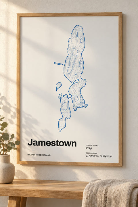 Jamestown
Rhode Island
-
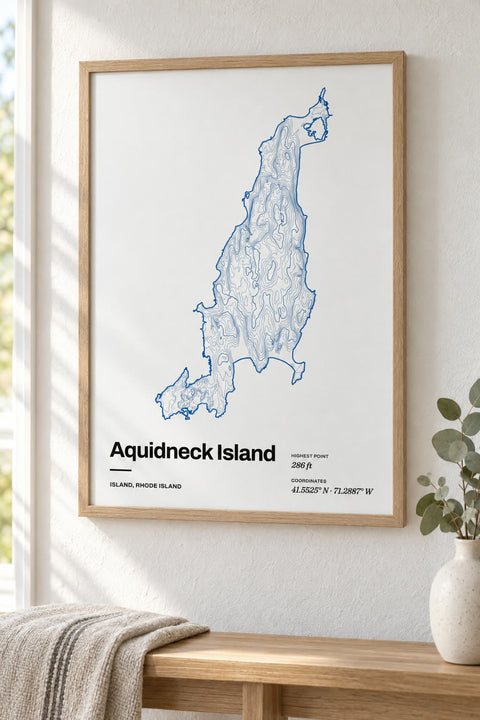 Aquidneck Island
Rhode Island
-
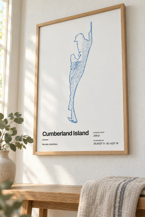 Cumberland Island
Georgia
-
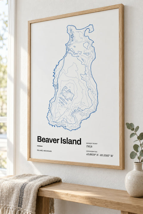 Beaver Island
Michigan
-
 Fripp Island
South Carolina
-
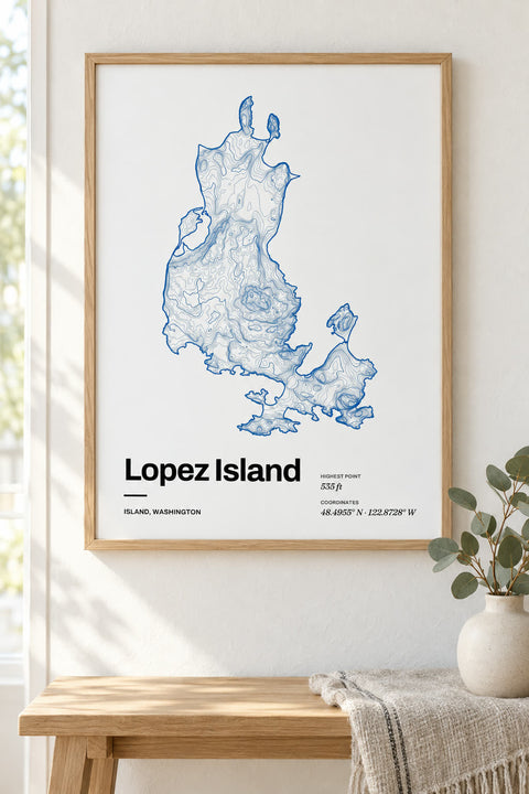 Lopez Island
Washington
-
 Vashon Island
Washington
-
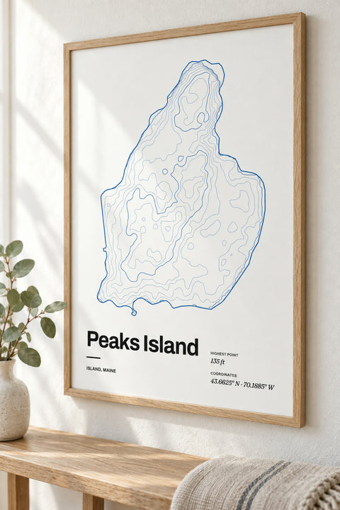 Peaks Island
Maine
-
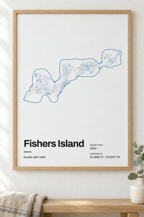 Fishers Island
New York
-
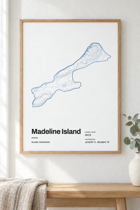 Madeline Island
Wisconsin
-
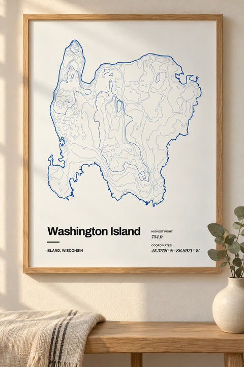 Washington Island
Wisconsin
-
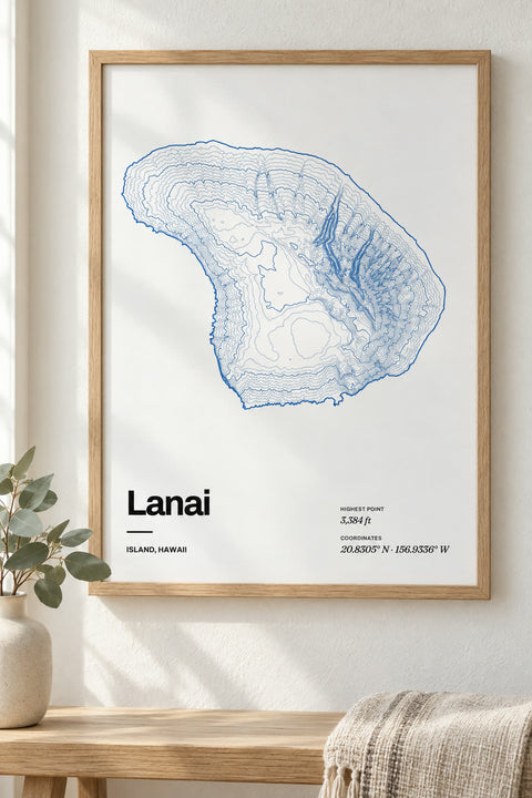
 Lanai
Hawaii
-
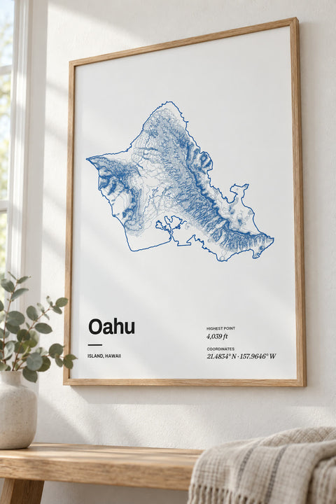
 Oahu
Hawaii
-
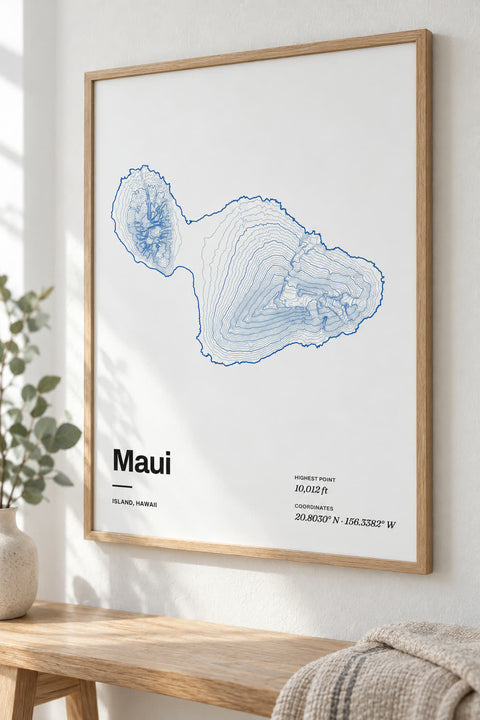
 Maui
Hawaii
-
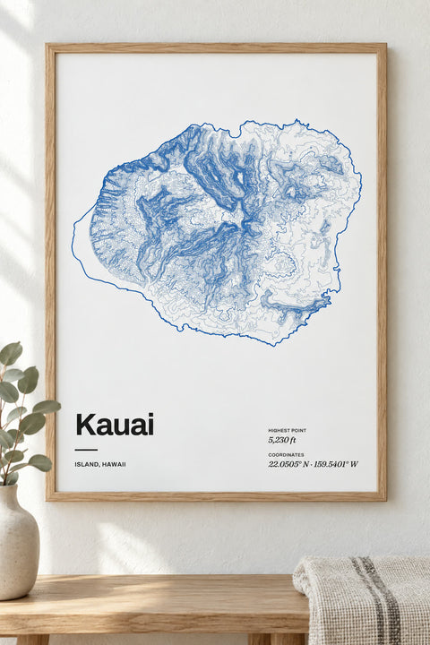
 Kauai
Hawaii
-
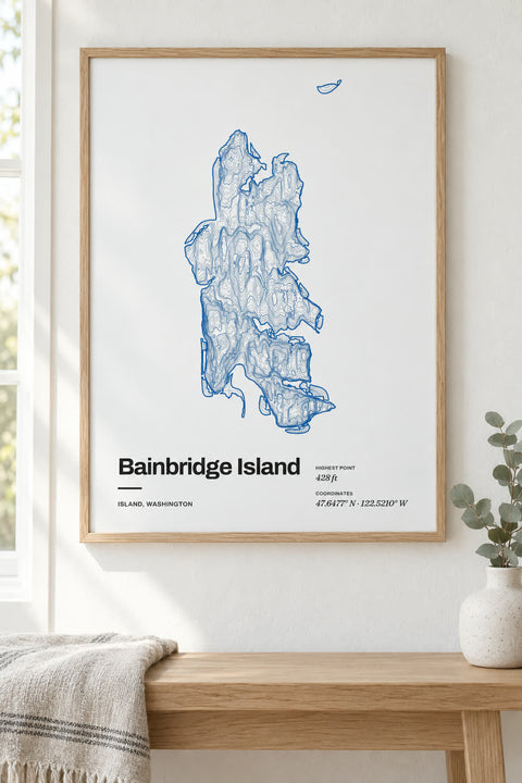
 Bainbridge Island
Washington
-
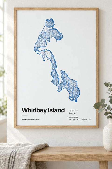 Whidbey Island
Washington
-
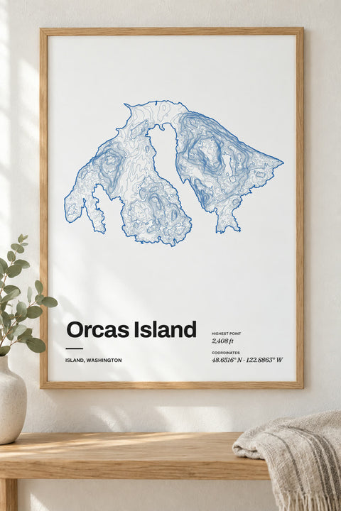 Orcas Island
Washington
-
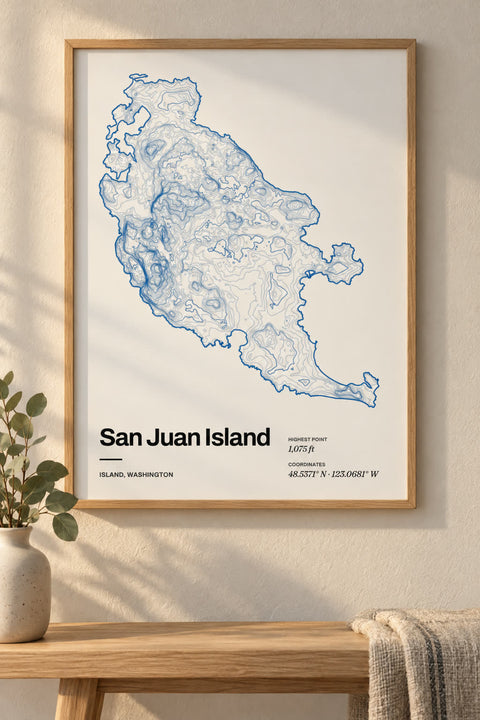 San Juan Island
Washington
-
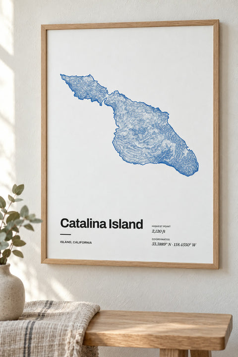
 Catalina Island
California
-
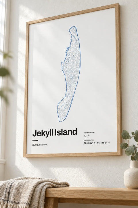 Jekyll Island
Georgia
-
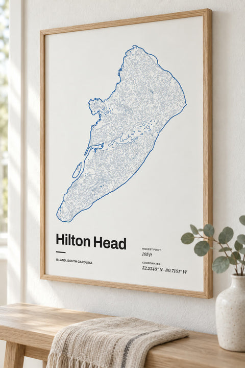
 Hilton Head
South Carolina
-
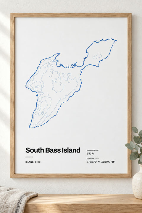 South Bass Island
Ohio
-
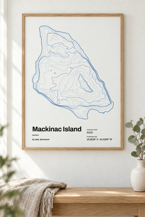
 Mackinac Island
Michigan
-
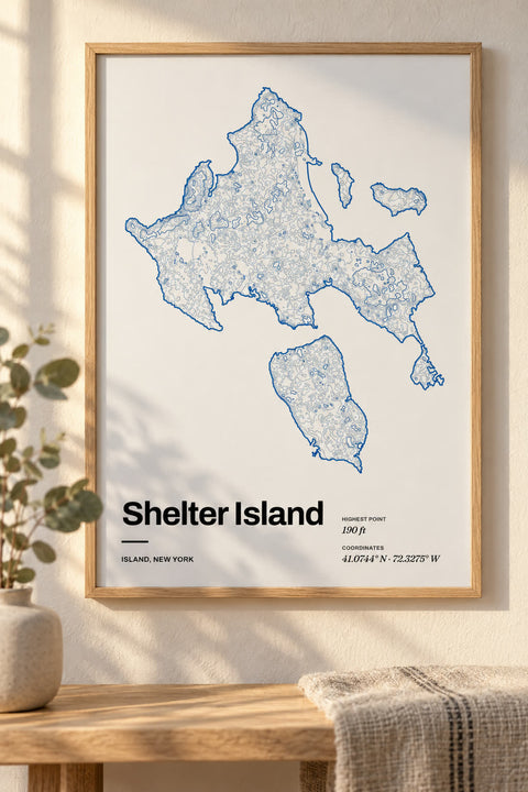 Shelter Island
New York
-
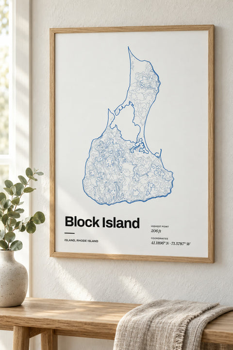
 Block Island
Rhode Island
-
 Martha's Vineyard
Massachusetts
-
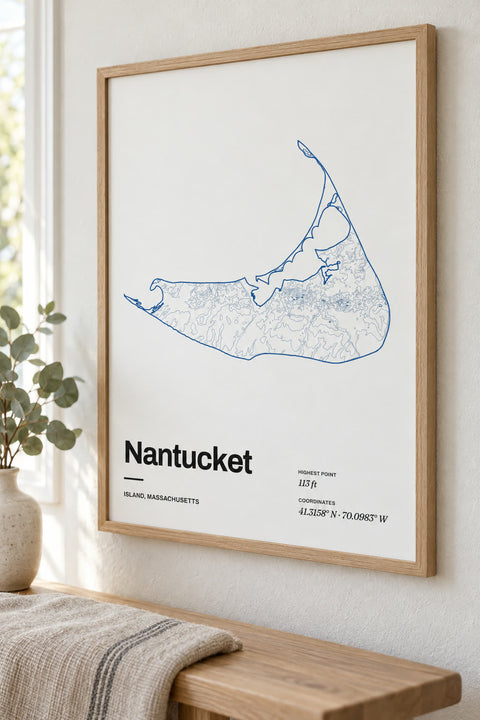
 Nantucket
Massachusetts


Nothing matches yet. You can map any lake or mountain yourself in our contour map editor.
Islands by state
The island that feels like home
The island where you spent every summer, got married, or keep going back to on the ferry. Our island maps are drawn from each island's own coastline and traced from elevation data, shore to summit, so the shape of the island itself becomes the art.
Make it yours
Every island map opens in our contour editor ready to change. Pick another colorway, rewrite the title, and add a line of your own, like the year you first went or the beach you love.
Some coastlines © OpenStreetMap contributors.