



State Park Map Prints
Contour maps of America's favorite state parks, traced from elevation data inside each park's boundary. The gorges, waterfalls and summits you hiked, drawn one line at a time. Find your park, then make it yours.
Trending state parks
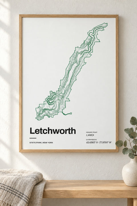
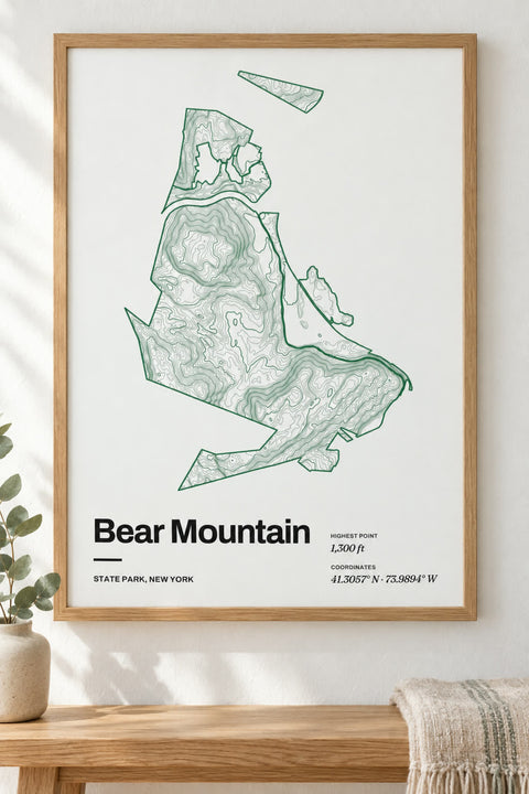
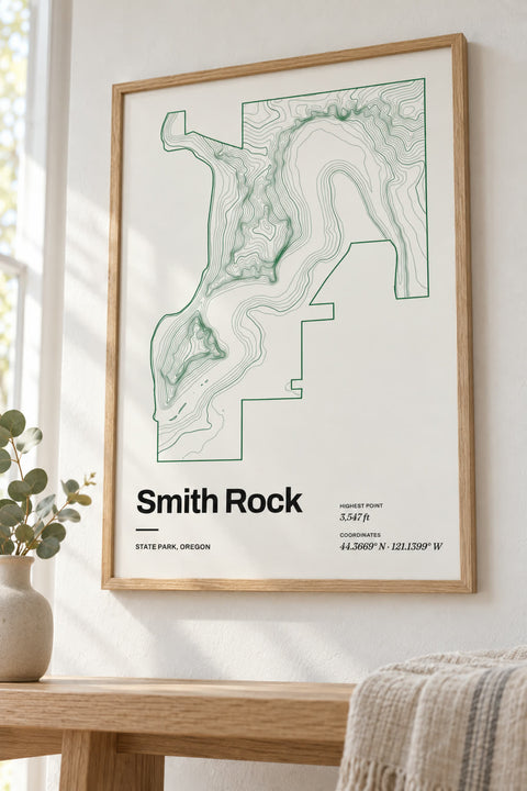
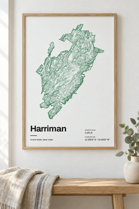
All state park maps
58 state parks
-
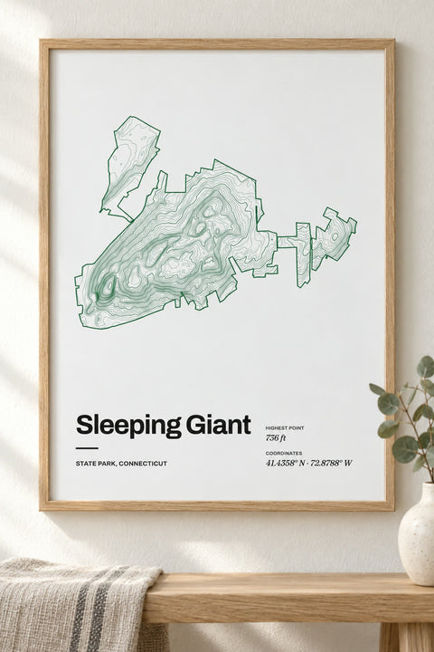 Sleeping Giant
Connecticut
-
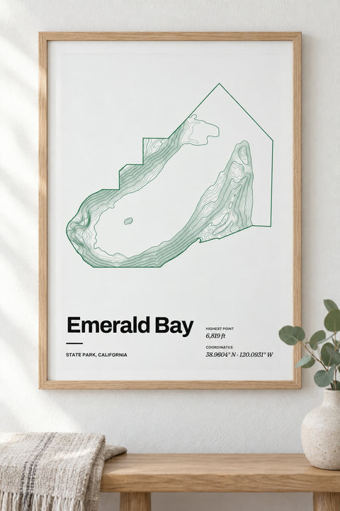
 Emerald Bay
California
-
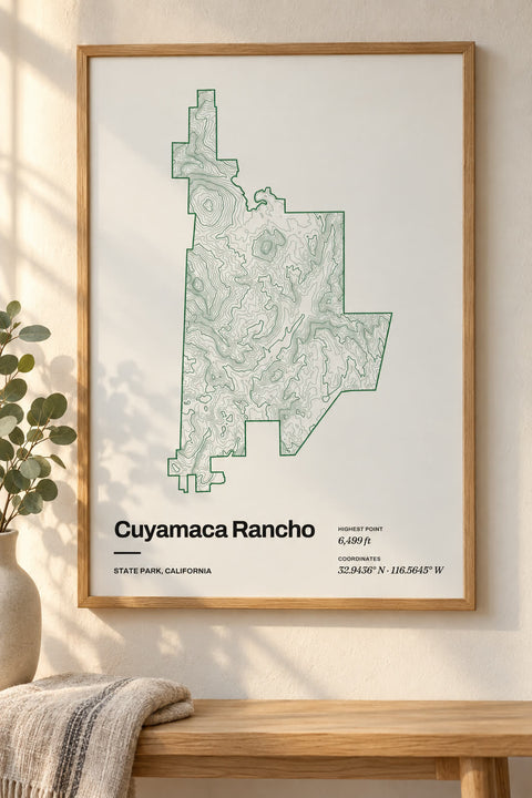 Cuyamaca Rancho
California
-
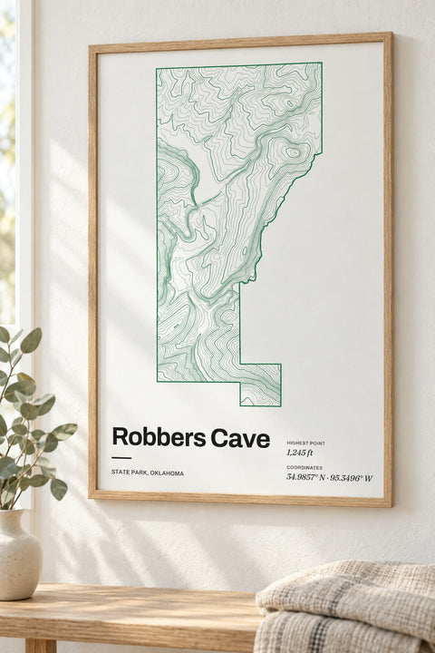 Robbers Cave
Oklahoma
-
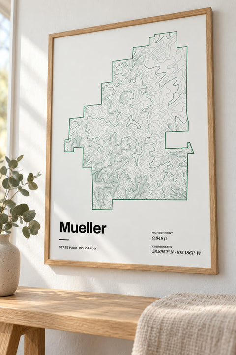 Mueller
Colorado
-
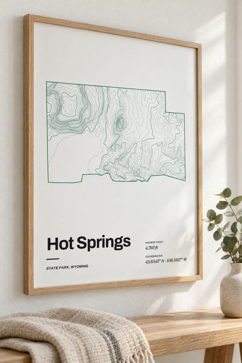 Hot Springs
Wyoming
-
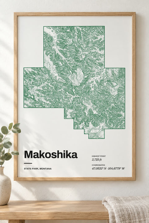 Makoshika
Montana
-
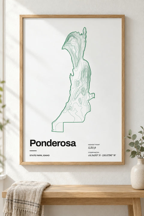 Ponderosa
Idaho
-
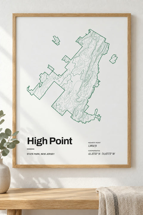 High Point
New Jersey
-
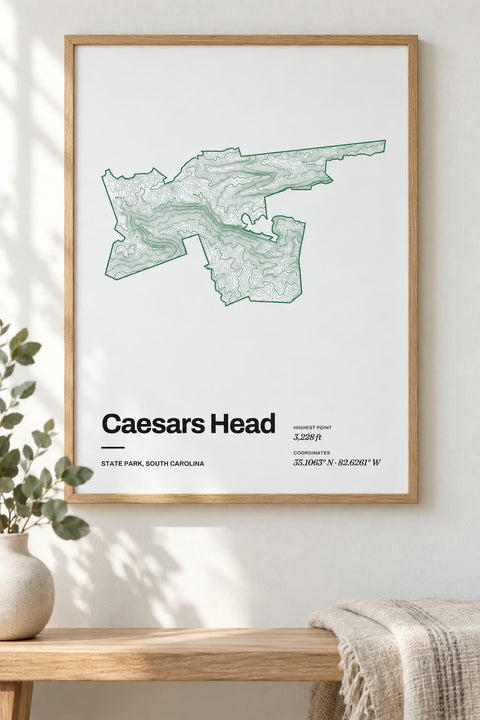 Caesars Head
South Carolina
-
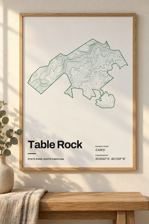 Table Rock
South Carolina
-
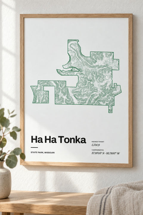 Ha Ha Tonka
Missouri
-
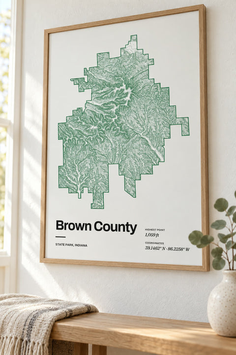 Brown County
Indiana
-
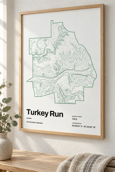 Turkey Run
Indiana
-
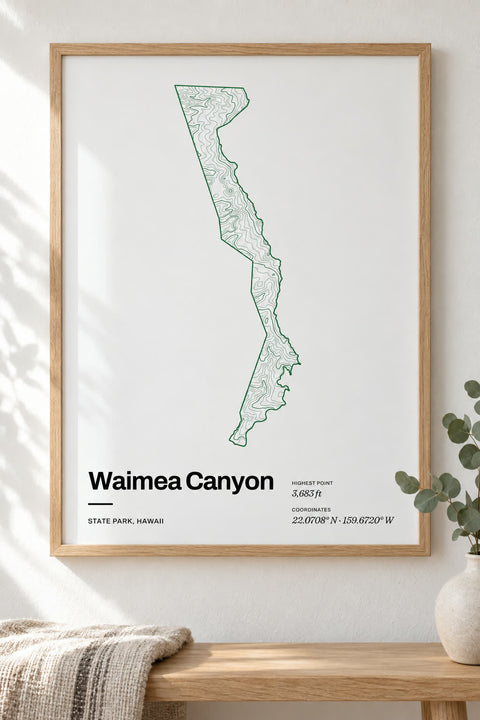 Waimea Canyon
Hawaii
-
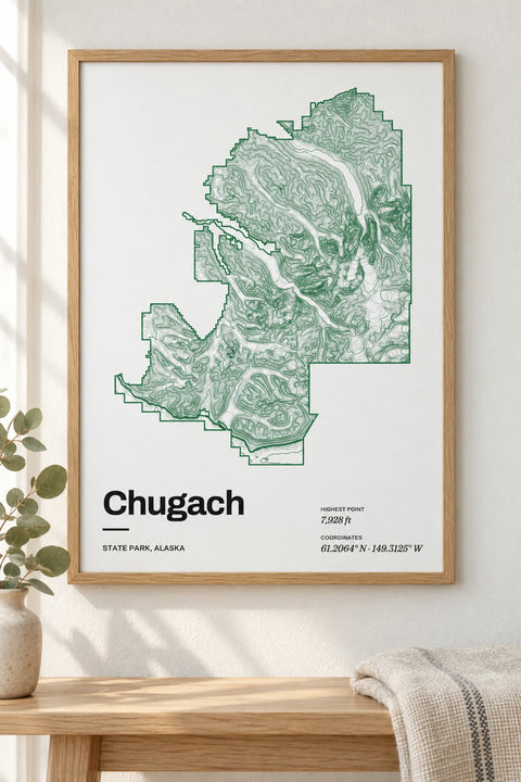 Chugach
Alaska
-
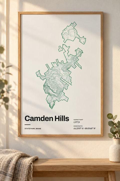 Camden Hills
Maine
-
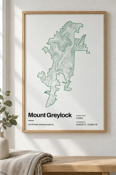 Mount Greylock
Massachusetts
-
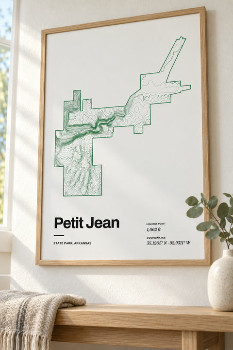
 Petit Jean
Arkansas
-
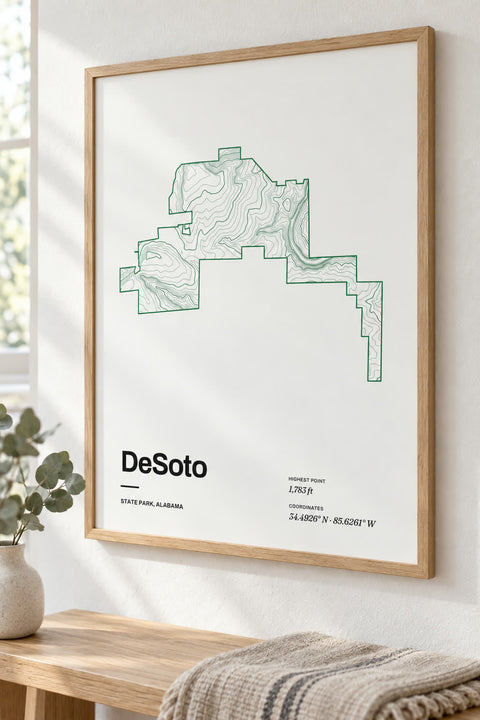 DeSoto
Alabama
-
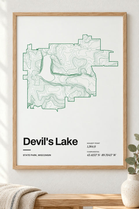
 Devil's Lake
Wisconsin
-
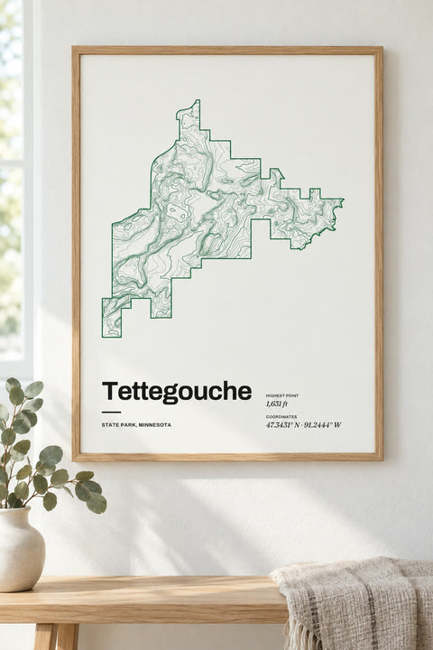 Tettegouche
Minnesota
-
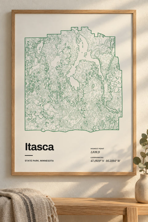
 Itasca
Minnesota
-
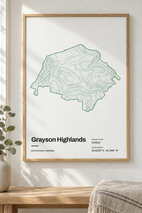
 Grayson Highlands
Virginia
-
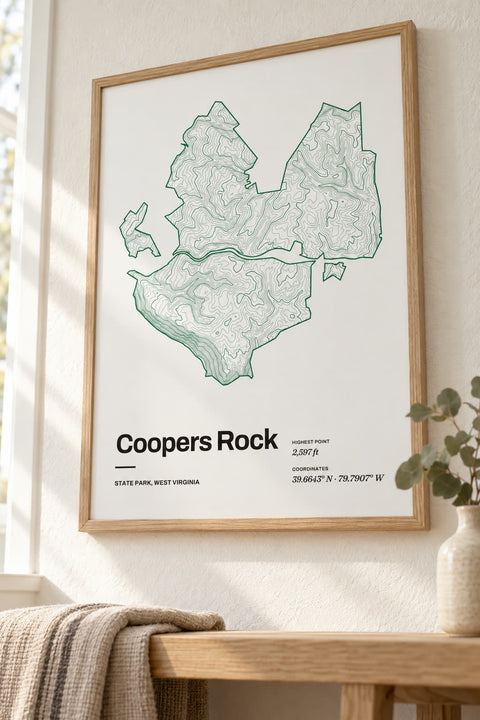 Coopers Rock
West Virginia
-
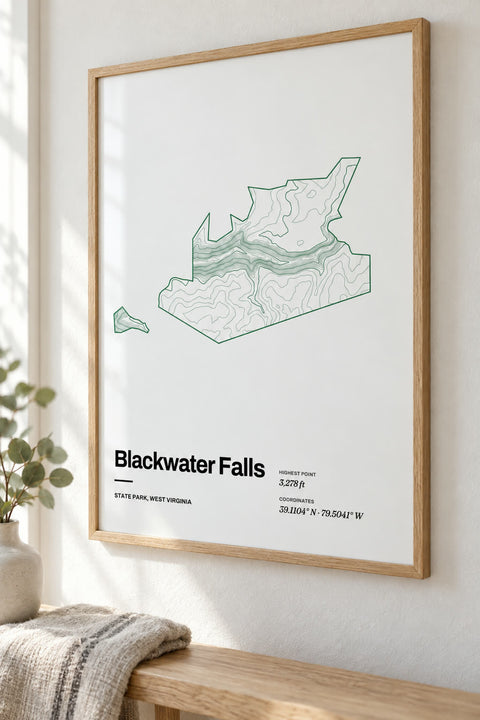 Blackwater Falls
West Virginia
-
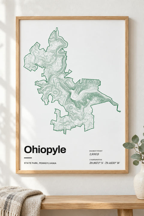 Ohiopyle
Pennsylvania
-
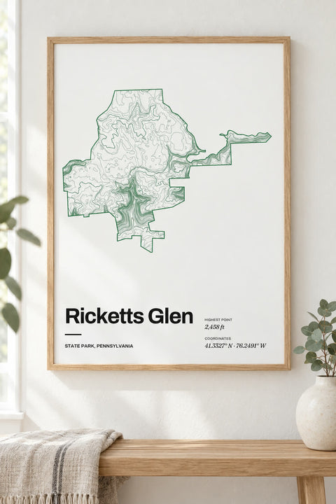 Ricketts Glen
Pennsylvania
-
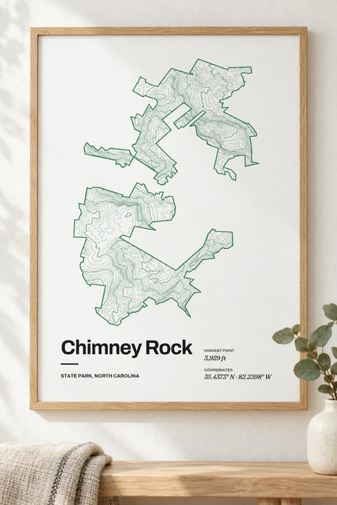 Chimney Rock
North Carolina
-
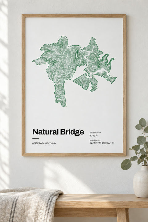 Natural Bridge
Kentucky
-
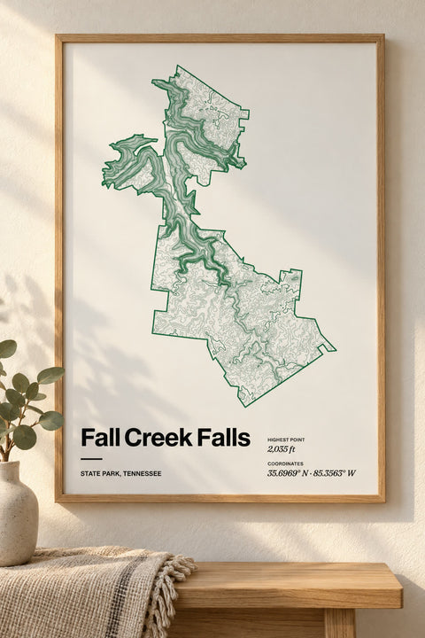 Fall Creek Falls
Tennessee
-
 Beacon Rock
Washington
-
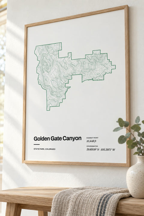 Golden Gate Canyon
Colorado
-
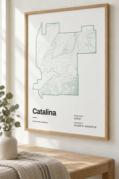 Catalina
Arizona
-
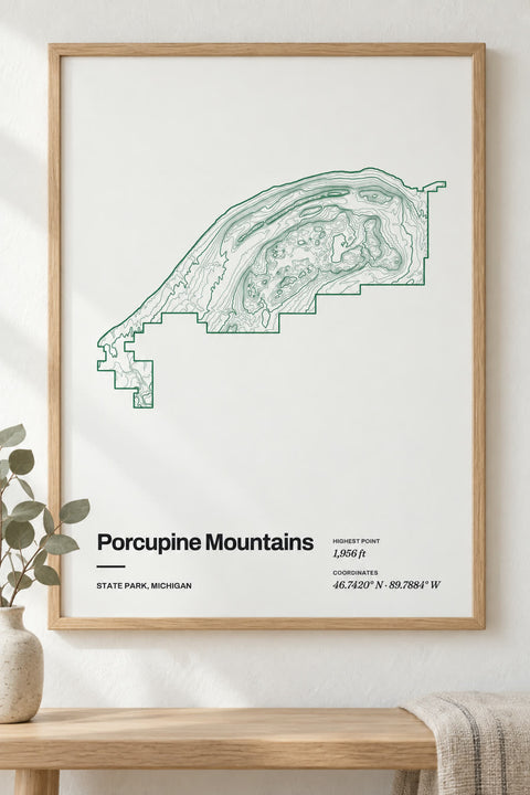 Porcupine Mountains
Michigan
-
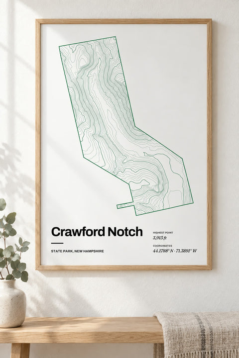 Crawford Notch
New Hampshire
-
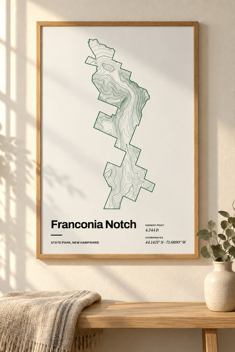 Franconia Notch
New Hampshire
-
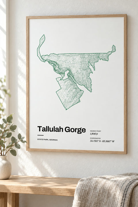 Tallulah Gorge
Georgia
-
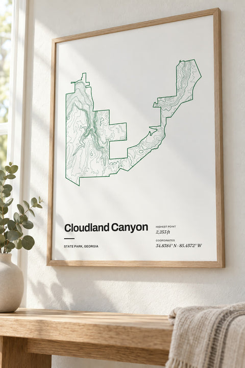 Cloudland Canyon
Georgia
-
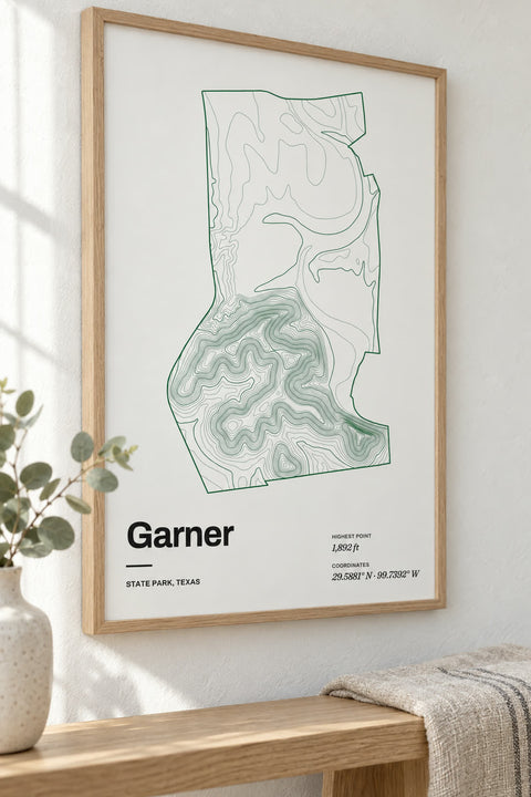 Garner
Texas
-
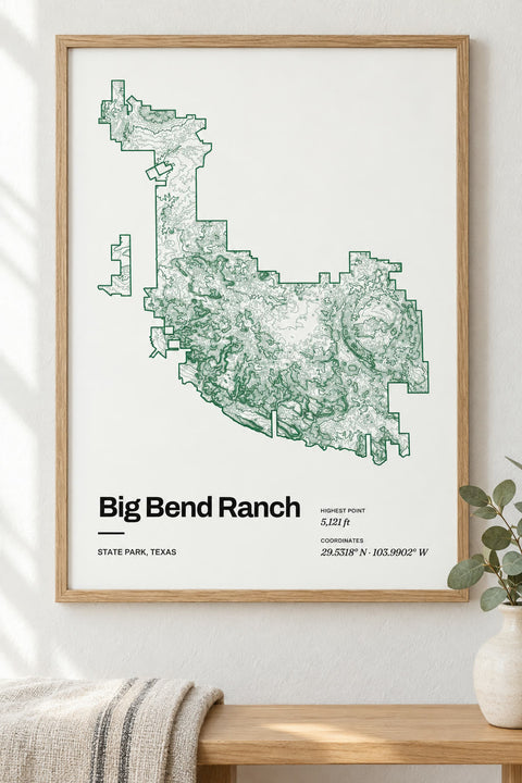 Big Bend Ranch
Texas
-
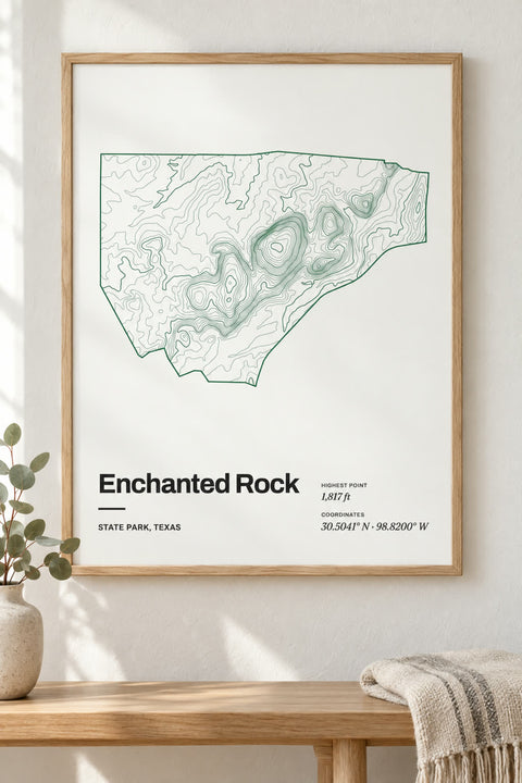 Enchanted Rock
Texas
-
 Palo Duro Canyon
Texas
-
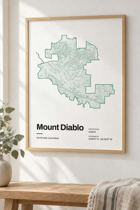 Mount Diablo
California
-
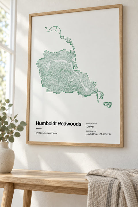 Humboldt Redwoods
California
-
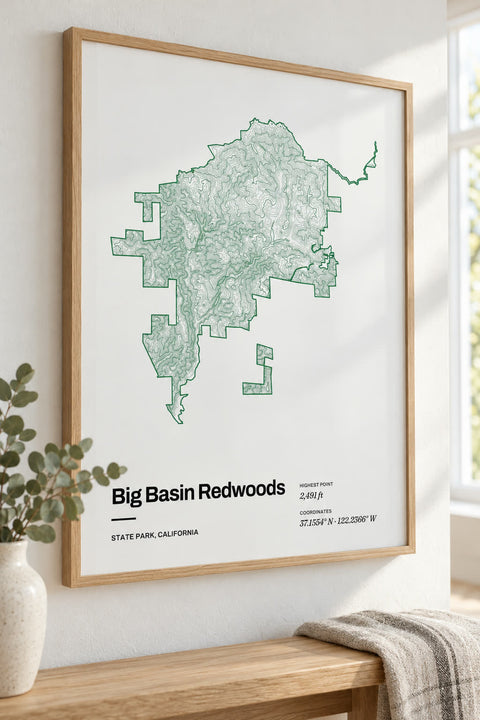 Big Basin Redwoods
California
-
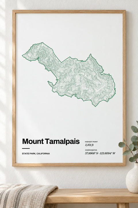 Mount Tamalpais
California
-
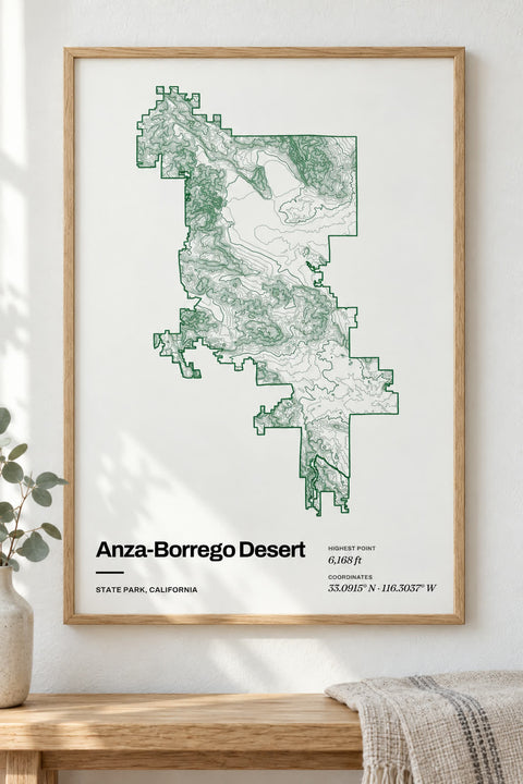 Anza-Borrego Desert
California
-
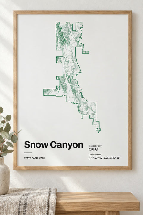 Snow Canyon
Utah
-
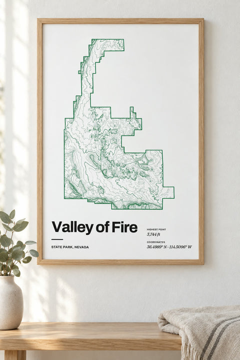 Valley of Fire
Nevada
-
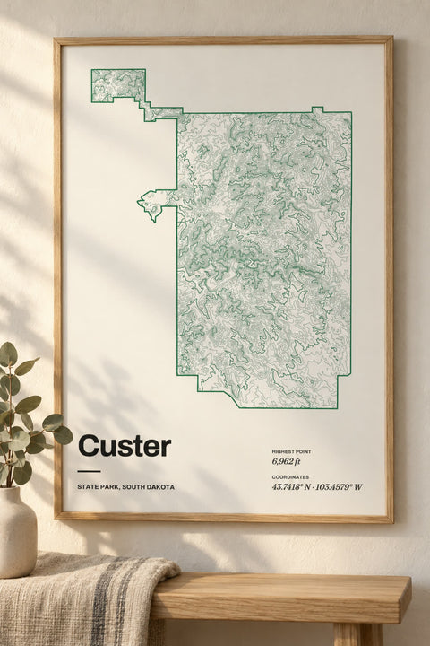
 Custer
South Dakota
-
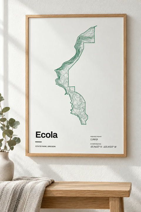 Ecola
Oregon
-
 Smith Rock
Oregon
-
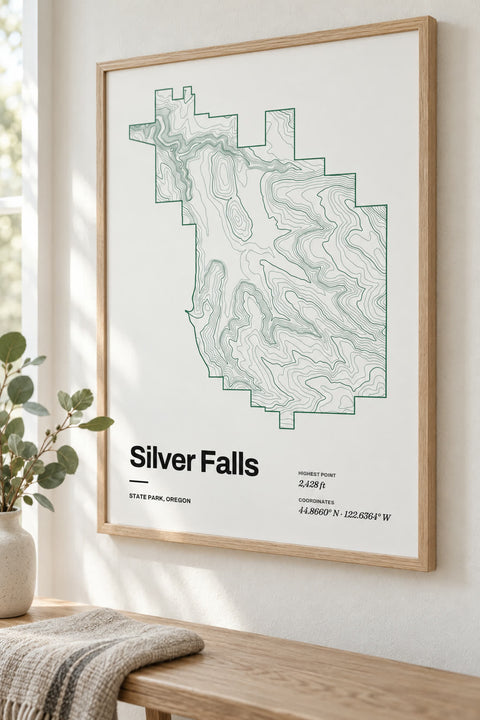
 Silver Falls
Oregon
-
 Bear Mountain
New York
-
 Harriman
New York
-
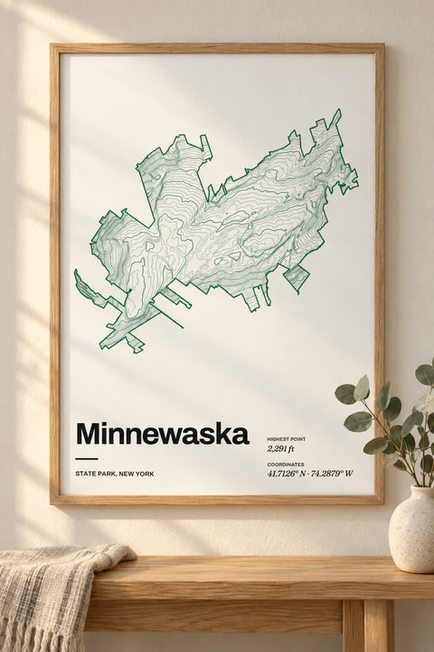
 Minnewaska
New York
-
 Letchworth
New York


Nothing matches yet. You can map any lake or mountain yourself in our contour map editor.
State parks by state
- Alabama 1 state park
- Alaska 1 state park
- Arizona 1 state park
- Arkansas 1 state park
- California 7 state parks
- Colorado 2 state parks
- Connecticut 1 state park
- Georgia 2 state parks
- Hawaii 1 state park
- Idaho 1 state park
- Indiana 2 state parks
- Kentucky 1 state park
- Maine 1 state park
- Massachusetts 1 state park
- Michigan 1 state park
- Minnesota 2 state parks
- Missouri 1 state park
- Montana 1 state park
- Nevada 1 state park
- New Hampshire 2 state parks
- New Jersey 1 state park
- New York 4 state parks
- North Carolina 1 state park
- Oklahoma 1 state park
- Oregon 3 state parks
- Pennsylvania 2 state parks
- South Carolina 2 state parks
- South Dakota 1 state park
- Tennessee 1 state park
- Texas 4 state parks
- Utah 1 state park
- Virginia 1 state park
- Washington 1 state park
- West Virginia 2 state parks
- Wisconsin 1 state park
- Wyoming 1 state park
The parks you keep going back to
A gorge you hiked on a fall weekend, a summit you climbed with your kids, the park an hour from home that became your family's place. Our state park maps trace each park's terrain from elevation data, inside its own boundary, so the shape of the park itself becomes the art.
Make it yours
Every park map opens in our contour editor ready to change. Pick another colorway, rewrite the title, and add a line of your own, like the year you visited or the trail you hiked.
Park outlines © OpenStreetMap contributors. Wallspoke isn't affiliated with any state park agency.